
 Explore the map ↗
United Kingdom
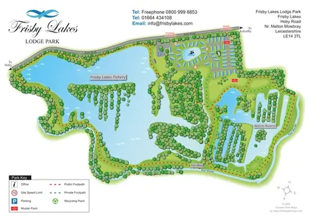
Frisby Lakes Lodge Park
Landscape-led lodge park map with a fishery, swimming lake, nature reserve and colour-coded footpaths.
THE HOLIDAY PARK MAP COLLECTION
Browse 24 map examples, from Frisby Lakes Lodge Park to Leisure Lakes Caravan Park.
← Explore the whole collectionCombine a country, landscape, facilities and accommodation type to find relevant examples.
Showing 25–48 of 98 · Select a map to read its story
Explore the map ↗United Kingdom
Landscape-led lodge park map with a fishery, swimming lake, nature reserve and colour-coded footpaths.
 Explore the map ↗
United Kingdom
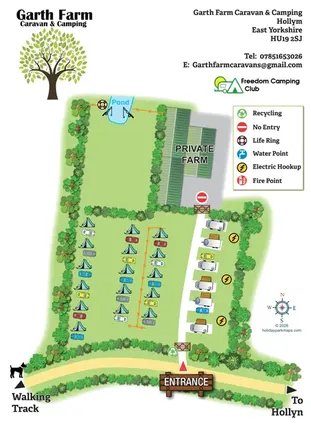
Illustrated farm campsite map with tent camping, electric touring bays, a pond and clearly marked private farm access.
 Explore the map ↗
United Kingdom
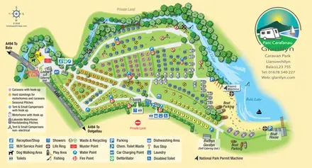
Colour-coded touring and camping map beside Afon Llafar and Bala Lake, with bilingual Glanllyn branding.
 Explore the map ↗
United Kingdom
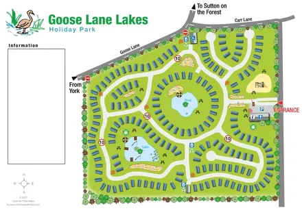
Tree-lined caravan park plan with linked road loops, a central pond and an illustrated fishing lake.
 Explore the map ↗
United Kingdom
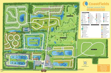
Colour-coded accommodation villages, fishing lakes, golf grounds and an Aqua Park at Grange Leisure Park.
 Explore the map ↗
United Kingdom
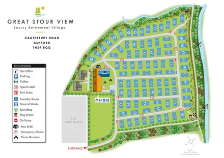
Numbered residential plots, shared facilities and a planted riverside boundary at Great Stour View, Ashford.
 Explore the map ↗
United Kingdom
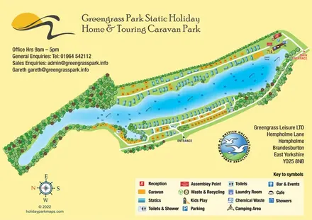
Colour-coded lakeside accommodation and illustrated facilities at Greengrass Park, East Yorkshire.
 Explore the map ↗
United Kingdom
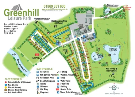
Illustrated camping and touring map with fishing lakes, dog areas and colour-coded pitches.
 Explore the map ↗
United Kingdom
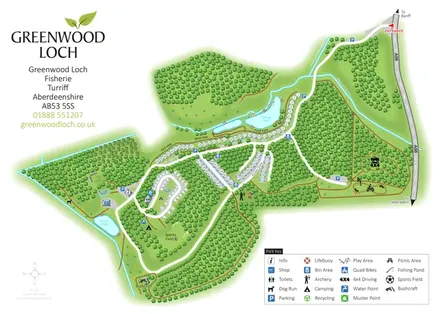
Woodland park map with pond-side holiday homes, touring, camping and outdoor activity areas.
 Explore the map ↗
United Kingdom
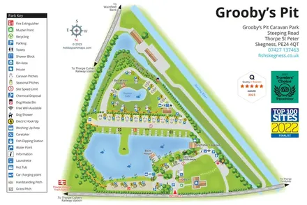
A lakeside touring-park map with distinct pitch groups, fishing facilities and a detailed pictorial key.
 Explore the map ↗
United Kingdom
A lakeside holiday-park and fishery map with numbered accommodation, fishing positions and clearly grouped visitor services.
 Explore the map ↗
United Kingdom
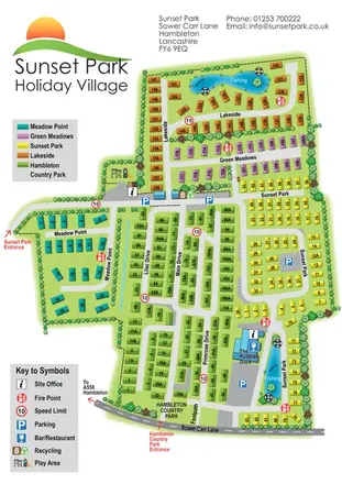
Five colour-coded park sections, two fishing lakes and linked drives on a Sunset Park-branded plan including Hambleton Country Park.
 Explore the map ↗
United Kingdom
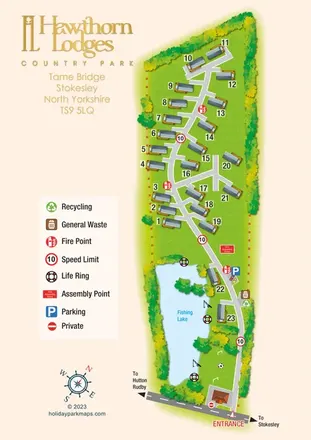
Portrait lodge park map with numbered accommodation, a fishing lake and a prominent gold branding column.
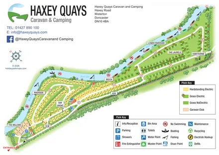 Explore the map ↗
United Kingdom
A diagonal riverside pitch map with named sections, colour-coded pitch types and separate visitor-facility keys.
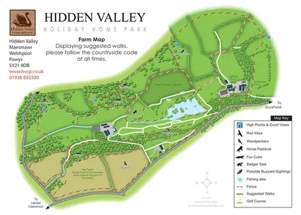 Explore the map ↗
United Kingdom
Hidden Valley farm map with suggested walks, wildlife landmarks, viewpoints and a fishing lake.
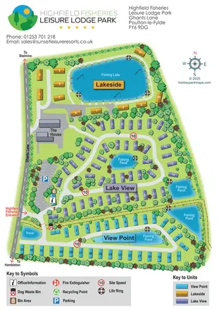 Explore the map ↗
United Kingdom
Colour-coded lodge-park plan with fishing lakes, looping roads and a clear entrance-side arrival area.
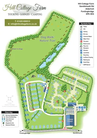 Explore the map ↗
United Kingdom
Portrait park map with mixed touring pitches, seasonal rows, ponds and an extensive dog walk.
 Explore the map ↗
United Kingdom
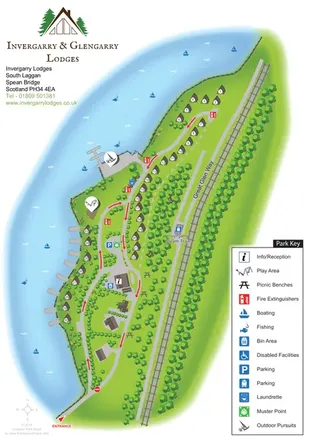
A lochside lodge map with numbered chalets, woodland, waterside activities and the Great Glen Way.
 Explore the map ↗
United Kingdom
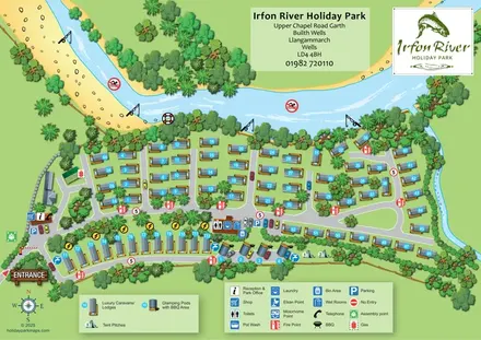
A river-led illustrated plan with numbered caravans/lodges, a pod and tent strip, and clearly marked arrival facilities.
 Explore the map ↗
United Kingdom
A woodland estate park map combining caravan loops, touring pitches, riverside paths and Bruce’s Cave landmarks.
 Explore the map ↗
United Kingdom
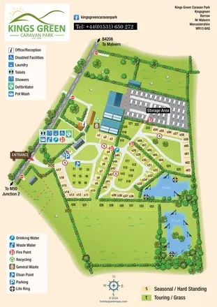
Illustrated caravan park plan with touring and seasonal pitches, separate storage and two fishing-symbol ponds.
 Explore the map ↗
United Kingdom
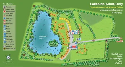
Illustrated lakeside touring park map with numbered pitches, fishing depths and a clear facility key.
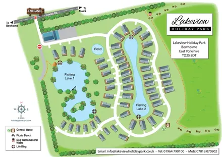 Explore the map ↗
United Kingdom
Illustrated lakeside holiday-home map with curving access roads, tree-lined grounds and prominent arrival signage.
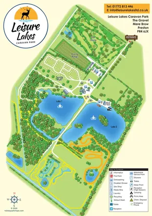 Explore the map ↗
United Kingdom
Illustrated Leisure Lakes map combining a loop-road touring area, golf course, driving range and lakeside recreation in a green-and-blue portrait layout.
LET’S MAP YOUR PARK
For a map quotation, find your park and draw a rough boundary around it. The area you select helps us work out the design time and price.
Draw your park for a quote ↗Or talk to our map designers
01751 473136