
 Explore the map ↗
United Kingdom
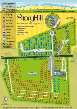
Priory Hill Holiday Park
Colour-coded coastal park map with chalet, caravan and touring areas, plus an enlarged touring service inset.
THE HOLIDAY PARK MAP COLLECTION
Browse 24 map examples, from Priory Hill Holiday Park to Yeatheridge Farm Caravan & Camping Park.
← Explore the whole collectionCombine a country, landscape, facilities and accommodation type to find relevant examples.
Showing 49–72 of 72 · Select a map to read its story
Explore the map ↗United Kingdom
Colour-coded coastal park map with chalet, caravan and touring areas, plus an enlarged touring service inset.
 Explore the map ↗
United Kingdom
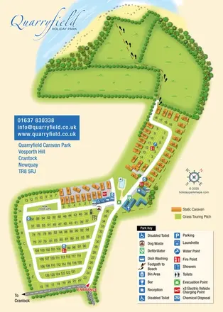
Coastal park map combining numbered touring pitches, orange caravans and a footprint-marked beach route.
 Explore the map ↗
United Kingdom
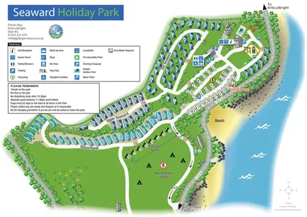
Coastal park map with named caravan sections, touring pitches, camping areas and a clearly illustrated facilities hub.
 Explore the map ↗
United Kingdom
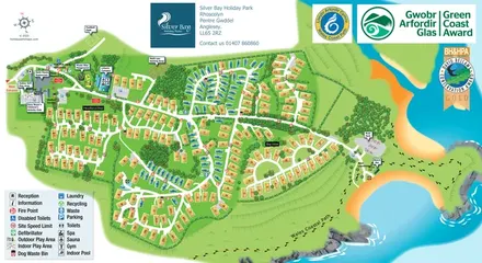
Illustrated Anglesey holiday-park map with numbered homes, family facilities and a footprint-marked coastal path.
 Explore the map ↗
United Kingdom
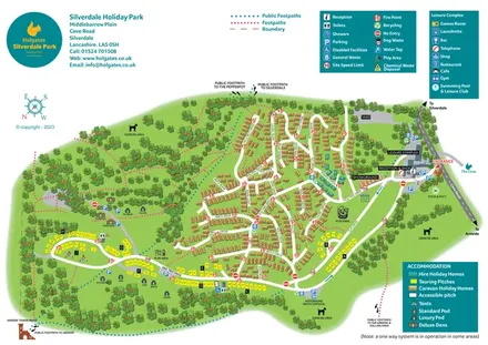
Colour-coded accommodation, woodland walks and an entrance-side leisure hub at Silverdale Holiday Park.
 Explore the map ↗
United Kingdom
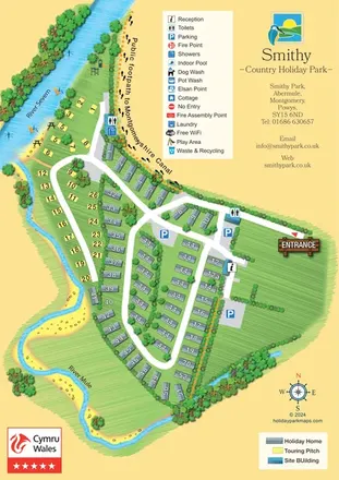
Illustrated Smithy Park map with riverside touring pitches, holiday-home rows and a footprint-marked canal footpath.
 Explore the map ↗
United Kingdom
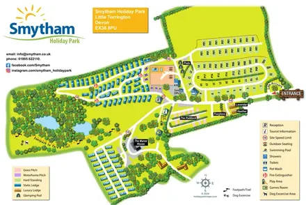
Colour-coded accommodation, woodland ponds and a Tarka Trail footpath on Smytham’s illustrated park map.
 Explore the map ↗
United Kingdom
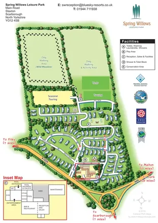
Tree-lined holiday-home streets, open touring fields and a detailed leisure-complex inset at Spring Willows.
 Explore the map ↗
United Kingdom
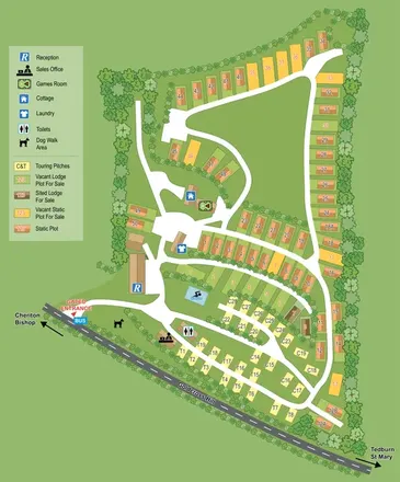
A tree-framed Devon park plan combining touring pitches, static and lodge plots, facility symbols and sales-status colours.
 Explore the map ↗
United Kingdom
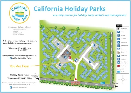
Numbered chalet blocks, communal lawns and shared parking on a branded Sunbeach Holiday Village map.
 Explore the map ↗
United Kingdom
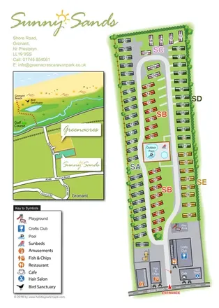
Colour-coded caravan park plan with an entrance leisure hub and a coastal location inset.
 Explore the map ↗
United Kingdom
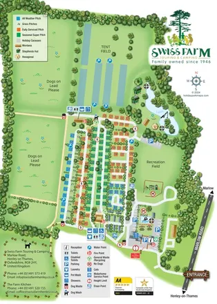
Portrait park map with colour-coded touring pitches, lakeside glamping and clearly grouped visitor facilities.
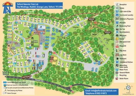 Explore the map ↗
United Kingdom
Woodland club map with colour-coded caravan pitches, camping, sports courts and named walking routes.
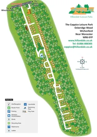 Explore the map ↗
United Kingdom
A diagonal woodland park plan with orange holiday homes, white access roads and integrated Hillandale branding.
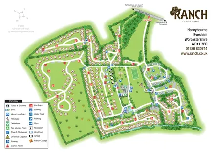 Explore the map ↗
United Kingdom
Illustrated Ranch Caravan Park map with looping accommodation roads, central leisure facilities and Gate Inn Brook.
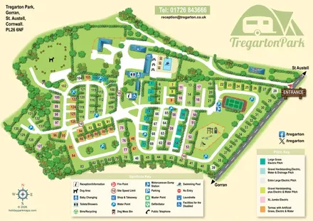 Explore the map ↗
United Kingdom
Hedge-divided pitches, colour-coded specifications and illustrated facilities at Tregarton Park, Cornwall.
 Explore the map ↗
United Kingdom
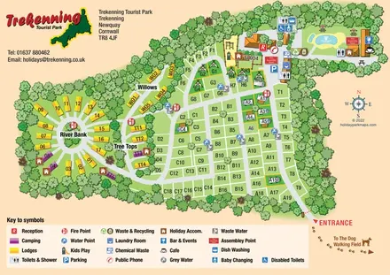
Tree-framed park map combining a touring grid, circular lodge section and illustrated pool area.
 Explore the map ↗
United Kingdom
Trevornick’s colour-coded park map, with mixed accommodation, fishing ponds, golf and wooded trails.
 Explore the map ↗
United Kingdom
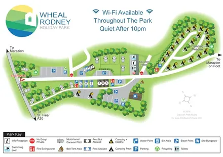
Tree-lined mixed-accommodation park map with Camping Meadow, central pool and reception, and a full-width visitor key.
 Explore the map ↗
United Kingdom
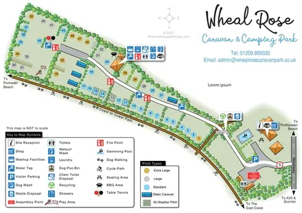
A tree-lined Cornish campsite map with colour-coded pitches, grouped facility callouts and the Coast to Coast Path.
 Explore the map ↗
United Kingdom
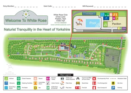
Woodland club map with numbered caravan areas, a walking route and an enlarged pool and pavilion inset.
 Explore the map ↗
United Kingdom
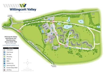
A branded cottage-village plan with numbered accommodation, parking courts, an outdoor pool and landscaped ponds.
 Explore the map ↗
United Kingdom
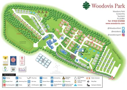
Tree-framed Woodovis Park map with touring, camping, glamping, static caravans and a detailed facility key.
 Explore the map ↗
United Kingdom
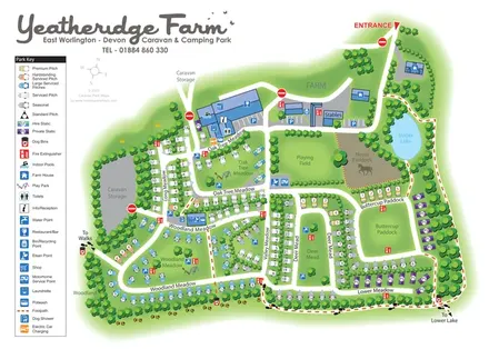
Colour-coded pitches, farm facilities and lakeside walking connections at Yeatheridge Farm, Devon.
LET’S MAP YOUR PARK
For a map quotation, find your park and draw a rough boundary around it. The area you select helps us work out the design time and price.
Draw your park for a quote ↗Or talk to our map designers
01751 473136