
 Explore the map ↗
United Kingdom
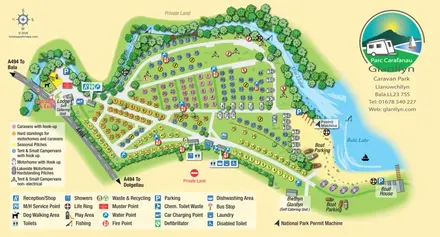
Glanllyn Caravan Park
Colour-coded touring and camping map beside Afon Llafar and Bala Lake, with bilingual Glanllyn branding.
THE HOLIDAY PARK MAP COLLECTION
Browse 24 map examples, from Glanllyn Caravan Park to Hendre Mynach.
← Explore the whole collectionCombine a country, landscape, facilities and accommodation type to find relevant examples.
Showing 97–120 of 281 · Select a map to read its story
Explore the map ↗United Kingdom
Colour-coded touring and camping map beside Afon Llafar and Bala Lake, with bilingual Glanllyn branding.
 Explore the map ↗
United Kingdom
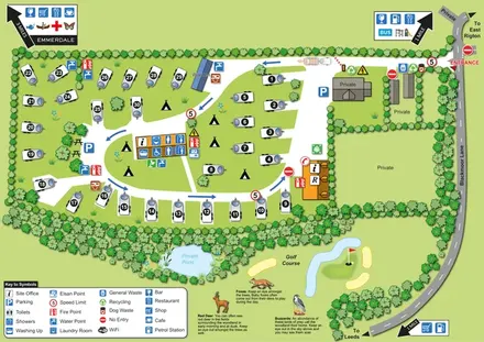
Numbered touring pitches, central amenities and wildlife illustrations in a tree-lined countryside site map.
 Explore the map ↗
United Kingdom
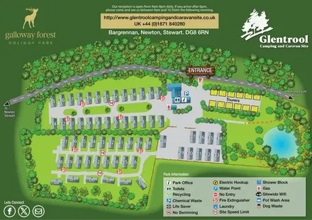
Woodland-framed Glentrool site map with numbered caravans, yellow touring pitches and a turquoise pond.
 Explore the map ↗
United Kingdom
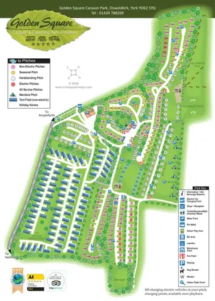
Tree-lined touring areas, The Paddock holiday homes and recreation spaces on Golden Square's illustrated park map.
 Explore the map ↗
United Kingdom
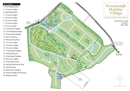
Numbered lodge and cottage areas, golf, ponds and shared facilities on a landscaped Goosnargh site plan.
 Explore the map ↗
United Kingdom
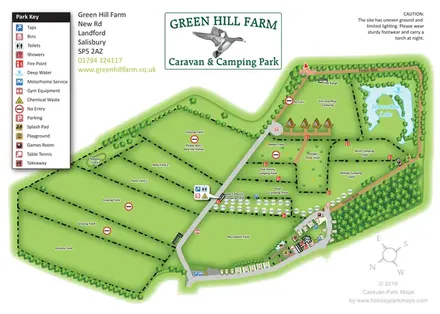
Green Hill Farm's field-based caravan and camping map combines numbered pitches, named camping areas, Horseshoe Lake and a clearly differentiated Forest Walk.
 Explore the map ↗
United Kingdom
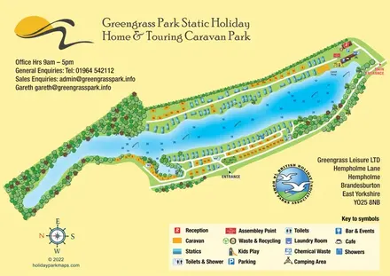
Colour-coded lakeside accommodation and illustrated facilities at Greengrass Park, East Yorkshire.
 Explore the map ↗
United Kingdom
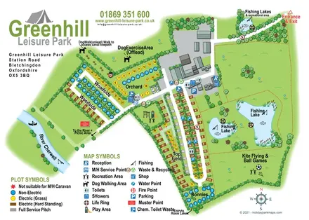
Illustrated camping and touring map with fishing lakes, dog areas and colour-coded pitches.
 Explore the map ↗
United Kingdom
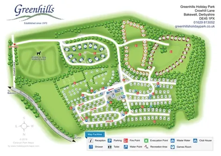
Tree-framed Greenhills park plan with coloured holiday-home groups, touring rows, camping areas and a large wildlife walk.
 Explore the map ↗
United Kingdom
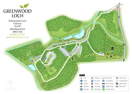
Woodland park map with pond-side holiday homes, touring, camping and outdoor activity areas.
 Explore the map ↗
United Kingdom
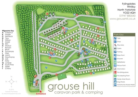
Woodland-framed Grouse Hill park map with touring rows, named wigwams and a comprehensive facility key.
 Explore the map ↗
United Kingdom
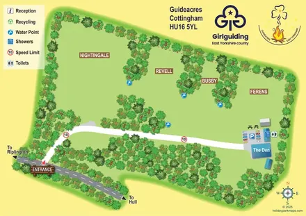
Guideacres campsite map with four tree-lined camping areas, The Den and a clearly illustrated arrival route.
 Explore the map ↗
United Kingdom
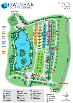
Colour-coded campsite plan beside a specimen lake, with named pods, washing facilities and an onward fishing route.
 Explore the map ↗
United Kingdom
A lakeside holiday-park and fishery map with numbered accommodation, fishing positions and clearly grouped visitor services.
 Explore the map ↗
United Kingdom
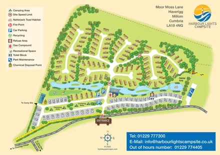
Mixed-accommodation campsite map with a water-feature corridor, touring rows and natterjack toad habitat.
 Explore the map ↗
United Kingdom
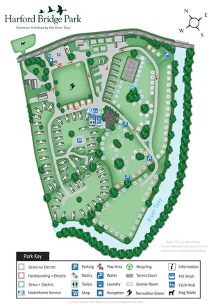
Riverside park map with colour-coded pitches, static caravan groups and a comprehensive facilities key.
 Explore the map ↗
United Kingdom
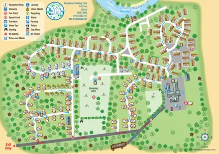
Riverside caravan and camping map with colour-coded traffic routes and a comprehensive facilities key.
 Explore the map ↗
United Kingdom
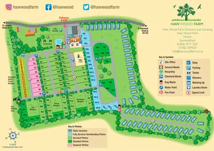
Colour-coded pitches, a leafy facilities hub and a long static-caravan wing at Haw Wood Farm, Suffolk.
 Explore the map ↗
United Kingdom
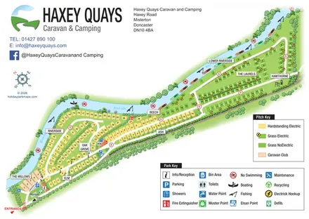
A diagonal riverside pitch map with named sections, colour-coded pitch types and separate visitor-facility keys.
 Explore the map ↗
United Kingdom
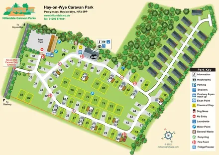
Numbered touring pitches and a tree-lined holiday-home avenue on an illustrated Hay-on-Wye park map.
 Explore the map ↗
United Kingdom
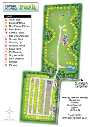
Two-field touring and camping map with colour-coded pitches, service points and tree-lined boundaries.
 Explore the map ↗
United Kingdom
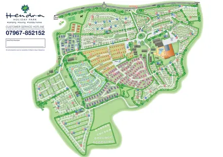
Colour-coded holiday homes, numbered pitch fields and a prominent pool complex on Hendra's whole-park plan.
 Explore the map ↗
United Kingdom
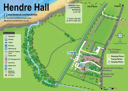
Coastal camping, touring and glamping map with a railway-side layout, beach path and illustrated rural surroundings.
 Explore the map ↗
United Kingdom
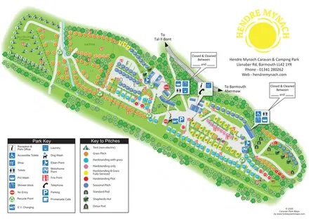
Diagonal railway-edge park plan with colour-coded pitches, non-electric camping and illustrated glamping accommodation.
LET’S MAP YOUR PARK
For a map quotation, find your park and draw a rough boundary around it. The area you select helps us work out the design time and price.
Draw your park for a quote ↗Or talk to our map designers
01751 473136