
 Explore the map ↗
United Kingdom
Parkgate Farm
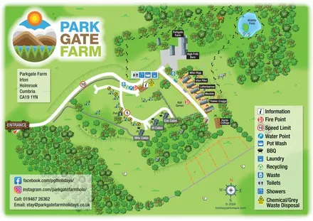
Mixed accommodation, woodland paths and a wildlife pond at Parkgate Farm, Cumbria.
THE HOLIDAY PARK MAP COLLECTION
Browse 24 map examples, from Parkgate Farm to Ross Rowing Club Campsite.
← Explore the whole collectionCombine a country, landscape, facilities and accommodation type to find relevant examples.
Showing 193–216 of 281 · Select a map to read its story
Explore the map ↗United Kingdom
Mixed accommodation, woodland paths and a wildlife pond at Parkgate Farm, Cumbria.
 Explore the map ↗
United Kingdom
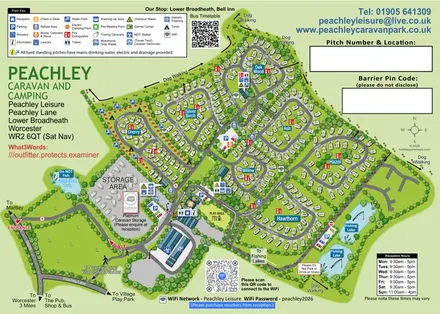
Tree-named touring areas, electric camping pitches and fishing lakes on an illustrated Peachley Leisure visitor map.
 Explore the map ↗
United Kingdom
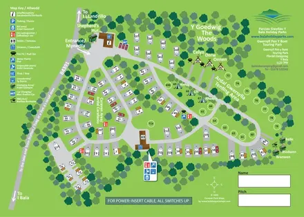
Bilingual touring, camping and glamping map with woodland, numbered pitches and illustrated amenities.
 Explore the map ↗
United Kingdom
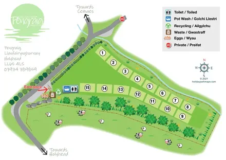
Bilingual Pengraig campsite plan with numbered grass pitches, entrance-side facilities and illustrated adjoining pasture.
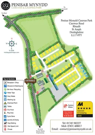 Explore the map ↗
United Kingdom
Portrait park map with perimeter pitches, planted touring rows and clear roadside arrival information.
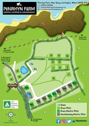 Explore the map ↗
United Kingdom
A colourful coastal farm campsite map with electric pitches, geodesic domes and footprint-marked walking routes.
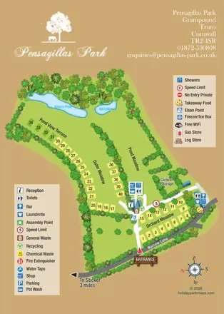 Explore the map ↗
United Kingdom
Named meadows, numbered pitches and nature ponds on Pensagillas Park’s illustrated visitor map.
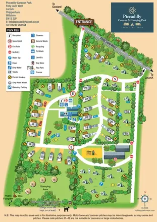 Explore the map ↗
United Kingdom
Illustrated touring, camping and glamping map with landscaped pitch groups, a central amenity hub and separate entrance and exit.
 Explore the map ↗
United Kingdom
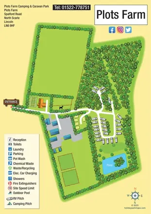
Portrait rural touring-park map with woodland pitches, a loop road and an island pond.
 Explore the map ↗
United Kingdom
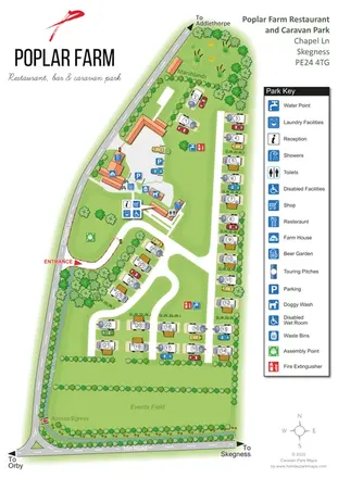
Portrait touring-park map with restaurant buildings, marshlands, an events field and a detailed facility key.
 Explore the map ↗
United Kingdom
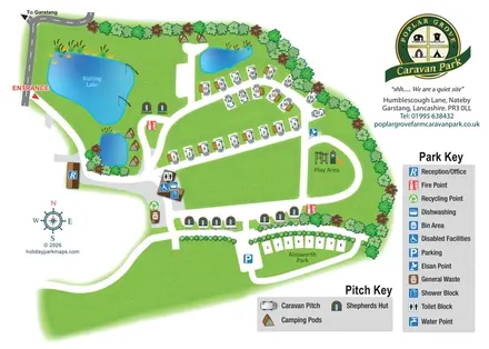
Illustrated touring and glamping park map with fishing lake, named huts and separate visitor keys.
 Explore the map ↗
United Kingdom
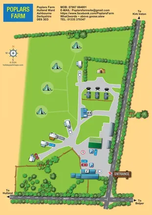
A colourful rural campsite plan with touring branches, open camping grass and three named pods beside Biggin Lane.
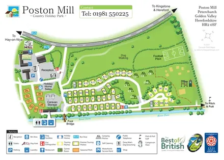 Explore the map ↗
United Kingdom
Riverside touring-park map with colour-coded pitches, dog-walking grounds and illustrated visitor facilities.
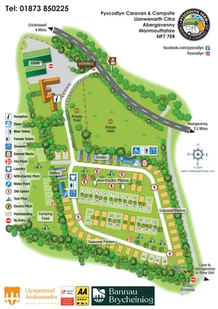 Explore the map ↗
United Kingdom
Illustrated farm campsite map with touring rows, seasonal pitches, a separate camping field and clear service symbols.
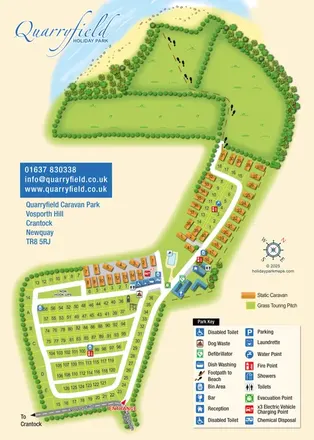 Explore the map ↗
United Kingdom
Coastal park map combining numbered touring pitches, orange caravans and a footprint-marked beach route.
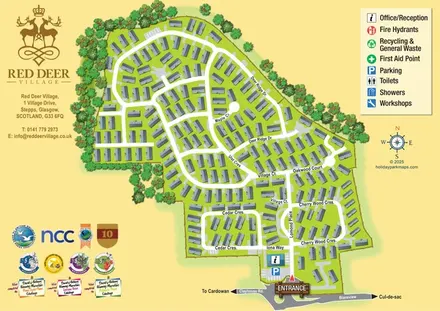 Explore the map ↗
United Kingdom
A street-led Red Deer Village map with shaded homes, tree-lined boundaries and a prominent entrance and reception.
 Explore the map ↗
United Kingdom
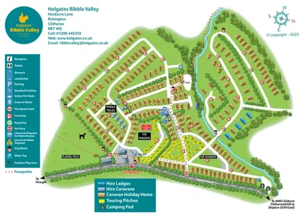
Colour-coded Ribble Valley holiday-park map with touring pitches, hire accommodation and a tree-lined watercourse.
 Explore the map ↗
United Kingdom
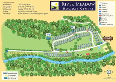
Riverside park map with numbered holiday homes, a separate touring strip and illustrated woodland.
 Explore the map ↗
Ireland
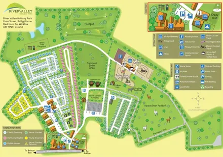
Colour-coded camping areas, illustrated glamping and a paddock walking route at River Valley, County Wicklow.
 Explore the map ↗
United Kingdom
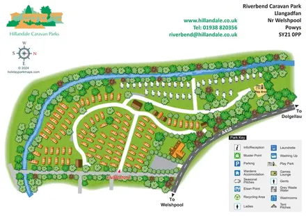
Riverbend's tree-lined river bend, contrasting caravan areas and A458 approach shown in a colourful illustrated plan.
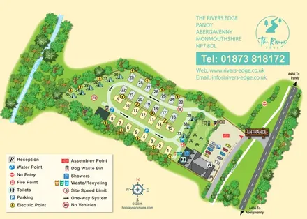 Explore the map ↗
United Kingdom
A compact riverside touring and camping map with a one-way pitch loop, illustrated planting and a clear entrance hub.
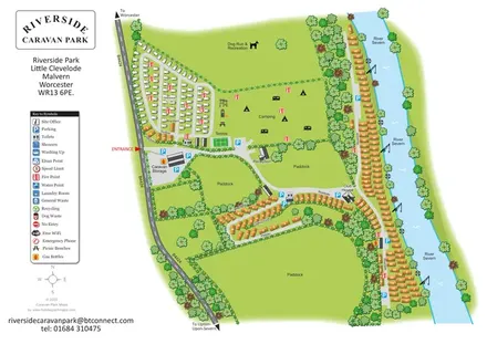 Explore the map ↗
United Kingdom
Illustrated riverside park plan with seasonal caravans, camping, paddocks and a long River Severn frontage.
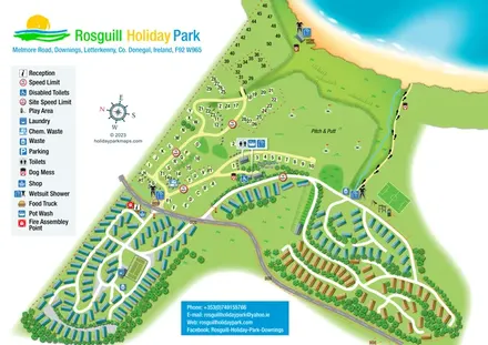 Explore the map ↗
Ireland
Illustrated coastal park plan with mobile-home loops, visitor pitches, pitch and putt, and a beach path.
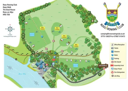 Explore the map ↗
United Kingdom
Illustrated riverside campsite map with open and enclosed camping, a crossing footpath and rowing-club slipway.
LET’S MAP YOUR PARK
For a map quotation, find your park and draw a rough boundary around it. The area you select helps us work out the design time and price.
Draw your park for a quote ↗Or talk to our map designers
01751 473136