
 Explore the map ↗
United Kingdom
Heathland Beach Coastal Park
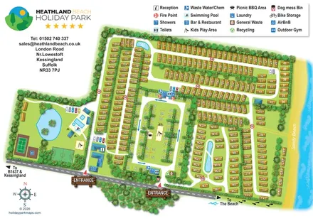
Illustrated Suffolk coastal park map with planted accommodation rows, central pitches, leisure facilities and beach directions.
THE HOLIDAY PARK MAP COLLECTION
Browse 24 map examples, from Heathland Beach Coastal Park to Lime Tree Holiday Park.
← Explore the whole collectionCombine a country, landscape, facilities and accommodation type to find relevant examples.
Showing 73–96 of 195 · Select a map to read its story
Explore the map ↗United Kingdom
Illustrated Suffolk coastal park map with planted accommodation rows, central pitches, leisure facilities and beach directions.
 Explore the map ↗
United Kingdom
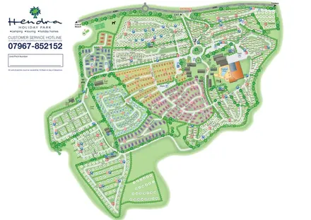
Colour-coded holiday homes, numbered pitch fields and a prominent pool complex on Hendra's whole-park plan.
 Explore the map ↗
United Kingdom
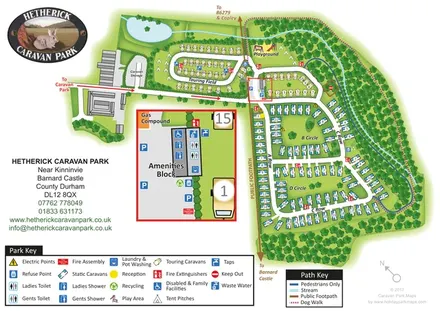
Woodland caravan park map with named pitch areas, walking routes and an enlarged amenities block.
 Explore the map ↗
United Kingdom
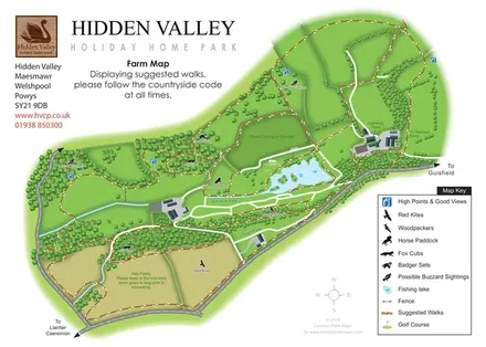
Hidden Valley farm map with suggested walks, wildlife landmarks, viewpoints and a fishing lake.
 Explore the map ↗
United Kingdom
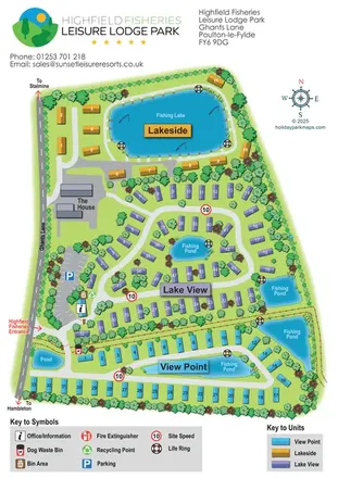
Colour-coded lodge-park plan with fishing lakes, looping roads and a clear entrance-side arrival area.
 Explore the map ↗
United Kingdom
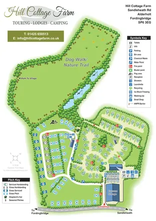
Portrait park map with mixed touring pitches, seasonal rows, ponds and an extensive dog walk.
 Explore the map ↗
United Kingdom
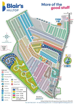
Portrait park plan with lettered holiday-home areas, separate camping access and an enlarged Hub callout.
 Explore the map ↗
United Kingdom
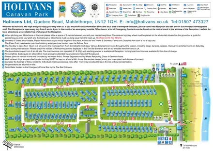
Numbered caravan-park plan with coastal scenery, linked road loops and grouped facility callouts.
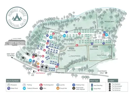 Explore the map ↗
United Kingdom
Terraced campsite map with colour-coded pitches, named lodges, woodland and two alpaca paddocks.
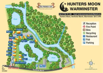 Explore the map ↗
United Kingdom
Named lodges, waterside landmarks and clear arrival information at Hunters Moon, Warminster.
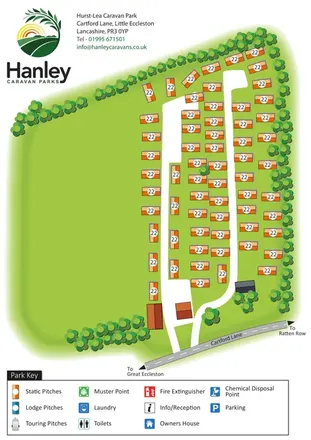 Explore the map ↗
United Kingdom
A branded, tree-framed caravan-park plan with orange pitch symbols and clear access from Cartford Lane.
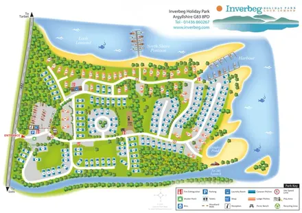 Explore the map ↗
United Kingdom
Colour-coded caravan and lodge pitches beside Loch Lomond, with woodland routes, a harbour and North Shore Pontoon.
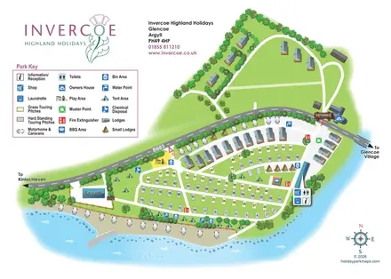 Explore the map ↗
United Kingdom
Illustrated lochside park map with mixed touring pitches, lodges and a road-divided layout at Invercoe, Glencoe.
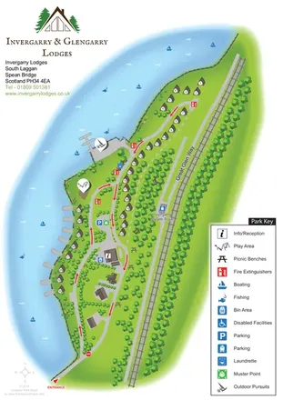 Explore the map ↗
United Kingdom
A lochside lodge map with numbered chalets, woodland, waterside activities and the Great Glen Way.
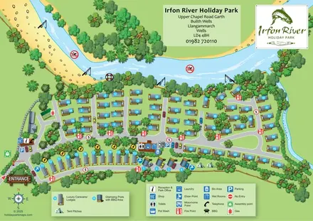 Explore the map ↗
United Kingdom
A river-led illustrated plan with numbered caravans/lodges, a pod and tent strip, and clearly marked arrival facilities.
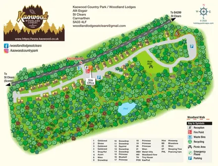 Explore the map ↗
United Kingdom
Woodland lodge map with named properties, a pond, picnic clearing and clearly separated walking routes.
 Explore the map ↗
United Kingdom
A woodland estate park map combining caravan loops, touring pitches, riverside paths and Bruce’s Cave landmarks.
 Explore the map ↗
United Kingdom
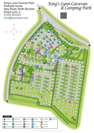
Tree-lined touring sections, lodges and pods on a portrait map of King’s Lynn Caravan & Camping Park.
 Explore the map ↗
United Kingdom
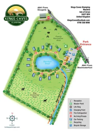
Pond-centred glamping map with numbered lodges, recreation lawns and a footprint-marked forest trail.
 Explore the map ↗
United Kingdom
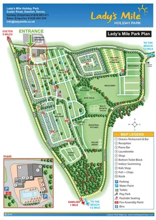
Portrait park plan with named fields, numbered accommodation, beach directions and an enlarged leisure-complex inset.
 Explore the map ↗
United Kingdom
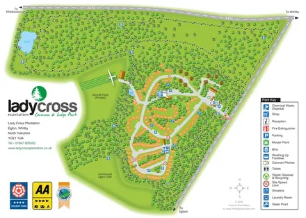
Woodland touring and lodge park map with numbered pitches, pond walks and a private aircraft field.
 Explore the map ↗
United Kingdom
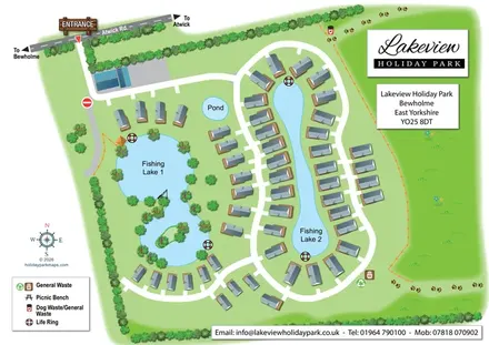
Illustrated lakeside holiday-home map with curving access roads, tree-lined grounds and prominent arrival signage.
 Explore the map ↗
Australia
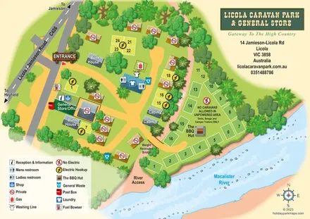
Illustrated Licola park map with riverside camping, cabins, bunkhouses and a general-store arrival area.
 Explore the map ↗
United Kingdom
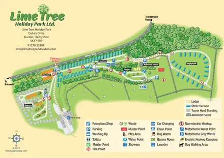
Mixed-accommodation park map with woodland, public footpaths and clearly differentiated service symbols.
LET’S MAP YOUR PARK
For a map quotation, find your park and draw a rough boundary around it. The area you select helps us work out the design time and price.
Draw your park for a quote ↗Or talk to our map designers
01751 473136