
 Explore the map ↗
United Kingdom
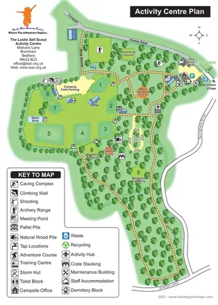
The Leslie Sell Scout Activity Centre
Illustrated Scout activity-centre plan with numbered camping areas, woodland routes and a comprehensive facility key.
THE HOLIDAY PARK MAP COLLECTION
Browse 24 map examples, from The Leslie Sell Scout Activity Centre to Woodlands Lodge Retreat.
← Explore the whole collectionCombine a country, landscape, facilities and accommodation type to find relevant examples.
Showing 169–192 of 195 · Select a map to read its story
Explore the map ↗United Kingdom
Illustrated Scout activity-centre plan with numbered camping areas, woodland routes and a comprehensive facility key.
 Explore the map ↗
United Kingdom
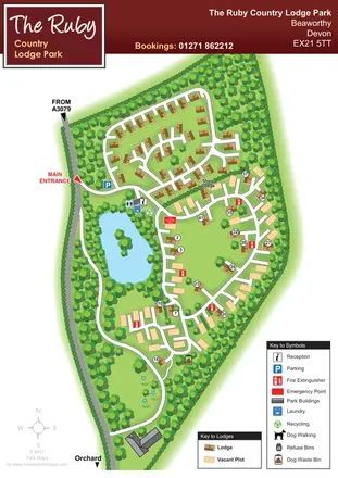
Wooded Devon lodge park map with a pond, branching roads and clearly differentiated vacant plots.
 Explore the map ↗
Australia
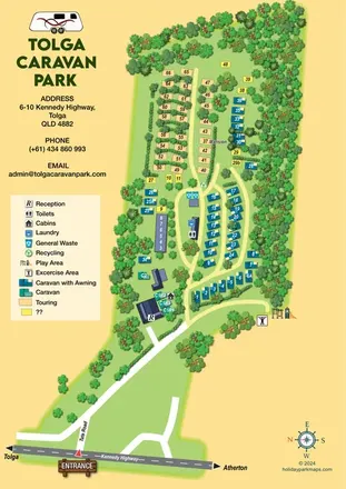
Tree-lined caravan park map with touring rows, central amenities and a clearly illustrated highway approach.
 Explore the map ↗
United Kingdom
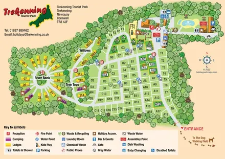
Tree-framed park map combining a touring grid, circular lodge section and illustrated pool area.
 Explore the map ↗
United Kingdom
Trevornick’s colour-coded park map, with mixed accommodation, fishing ponds, golf and wooded trails.
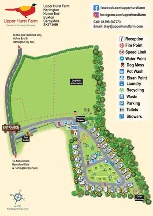 Explore the map ↗
United Kingdom
Upper Hurst Farm map with touring and tent pitches, named glamping stays and a large recreation field.
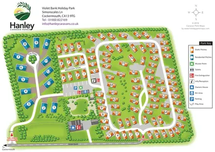 Explore the map ↗
United Kingdom
Colour-coded static and residential pitches, two entrances and tree-lined routes at Violet Bank Holiday Park.
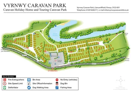 Explore the map ↗
United Kingdom
Riverside caravan park map with holiday-home rows, an entrance-side service compound and a touring-field direction.
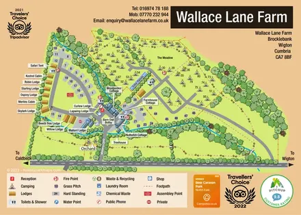 Explore the map ↗
United Kingdom
A mixed-accommodation farm park map with named lodges, meadow camping, a tree-lined stream and paw-print footpaths.
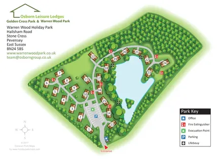 Explore the map ↗
United Kingdom
Numbered lodges, a central arrival area and a tree-framed lake on the Warren Wood park map.
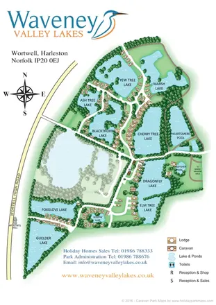 Explore the map ↗
United Kingdom
Illustrated lakeside caravan and lodge park map with numbered homes, wooded banks and a central reception cluster.
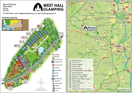 Explore the map ↗
United Kingdom
Animal-named glamping lodges, private hot tubs and a Durham-area locator on one illustrated page.
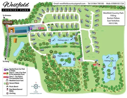 Explore the map ↗
United Kingdom
A landscape-led lodge park map with three fishing lakes, woodland paths and colour-coded parking.
 Explore the map ↗
United Kingdom
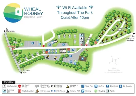
Tree-lined mixed-accommodation park map with Camping Meadow, central pool and reception, and a full-width visitor key.
 Explore the map ↗
United Kingdom
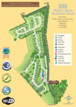
A portrait caravan park map with branching white lanes, wooded boundaries, sheep pasture and a prominent gated entrance.
 Explore the map ↗
United Kingdom
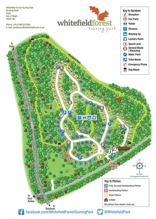
Woodland touring-park map with colour-coded pitches, a squirrel hide and a yellow dashed walking route.
 Explore the map ↗
United Kingdom
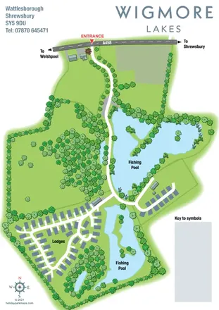
Landscape-led Wigmore Lakes map with two fishing pools, lodge roads and a clearly marked A458 entrance.
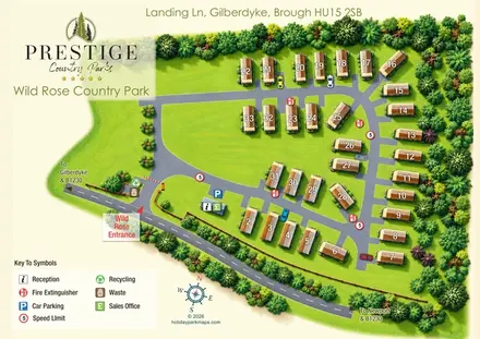 Explore the map ↗
United Kingdom
A tree-framed lodge park map with numbered plots, clear arrival details and prominent Prestige Country Parks branding.
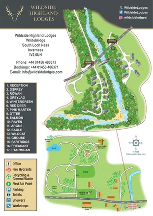 Explore the map ↗
United Kingdom
Riverside lodge map with detailed woodland illustration and a surrounding-area route map.
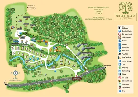 Explore the map ↗
United Kingdom
A woodland-valley park map combining named glamping stays, numbered pitches, riverside lodges and footprint-marked walking routes.
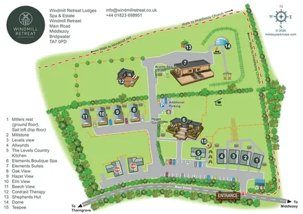 Explore the map ↗
United Kingdom
Illustrated Somerset lodge-and-spa estate map with named gardens, parking and local walking links.
 Explore the map ↗
United Kingdom
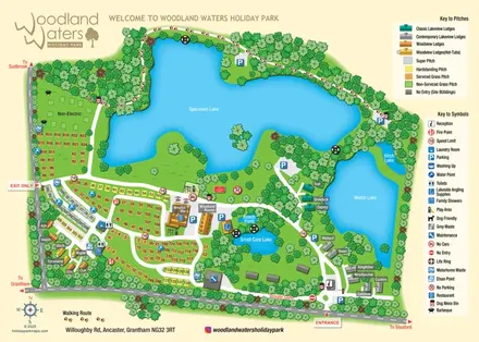
Lake-led holiday park map with colour-coded pitches, named lodges and a paw-print woodland route.
 Explore the map ↗
United Kingdom
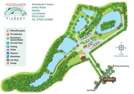
Illustrated fishery map with lakeside routes, wooded waters and a compact touring area.
 Explore the map ↗
United Kingdom
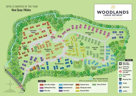
Colour-coded lodge neighbourhoods within a wooded, stream-side park near New Quay.
LET’S MAP YOUR PARK
For a map quotation, find your park and draw a rough boundary around it. The area you select helps us work out the design time and price.
Draw your park for a quote ↗Or talk to our map designers
01751 473136