
 Explore the map ↗
United Kingdom
Burrowhead Holiday Village
Colour-coded accommodation, central leisure facilities and coastal paths on an illustrated headland park map.
THE HOLIDAY PARK MAP COLLECTION
Browse 24 map examples, from Burrowhead Holiday Village to Cenarth Falls Holiday Park.
← Explore the whole collectionCombine a country, landscape, facilities and accommodation type to find relevant examples.
Showing 49–72 of 336 · Select a map to read its story
Explore the map ↗United Kingdom
Colour-coded accommodation, central leisure facilities and coastal paths on an illustrated headland park map.
 Explore the map ↗
United Kingdom
Colour-coded accommodation, lakeside facilities and woodland routes at Burton Constable Holiday Park & Arboretum.
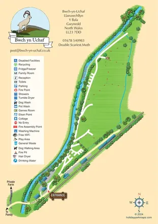 Explore the map ↗
United Kingdom
Landscape-led campsite map framed by Afon Twrch and the Bala Lake Railway.
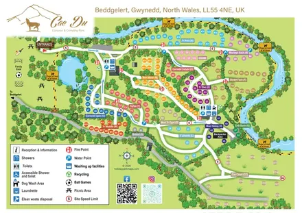 Explore the map ↗
United Kingdom
Colour-coded camping park plan with mountain-named pitches, a riverside walk and Family Zone.
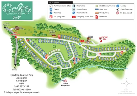 Explore the map ↗
United Kingdom
Woodland-framed caravan park plan with numbered and lettered units, a central play area and routes towards Aberporth’s village and sea.
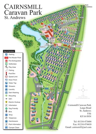 Explore the map ↗
United Kingdom
Portrait park map combining numbered caravan rows, touring and tent areas with a reservoir-side recreation hub.
 Explore the map ↗
United Kingdom
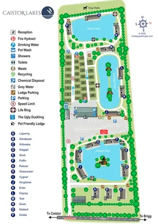
A lake-led park map combining named lodges, touring pitches and shared facilities at Caistor Lakes.
 Explore the map ↗
United Kingdom
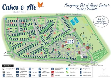
Branded Suffolk park plan with holiday homes, touring loops, recreation grounds and airfield heritage landmarks.
 Explore the map ↗
United States
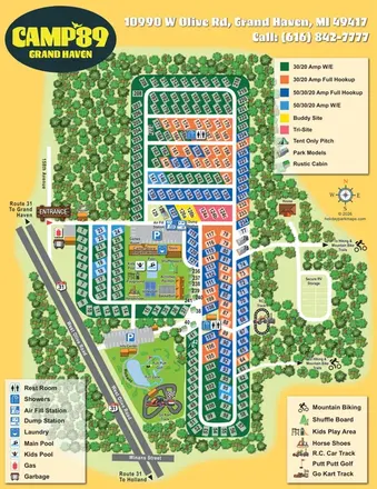
Colour-coded RV pitches, woodland borders and two activity hubs at Camp '89 Grand Haven.
 Explore the map ↗
Czechia
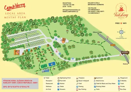
Tree-framed campsite and hotel map with motorhome rows, apartments, sports courts and footprint-marked walking paths.
 Explore the map ↗
France
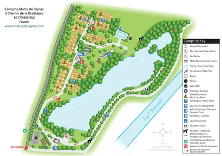
Bilingual lakeside campsite map with numbered pitches, recreation areas and colour-coded service points.
 Explore the map ↗
Spain
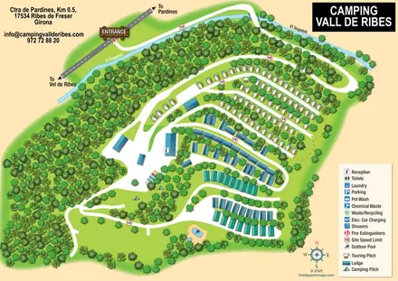
Wooded campsite map with a river-crossing approach, curved touring rows, lodges and paired outdoor pools.
 Explore the map ↗
United Kingdom
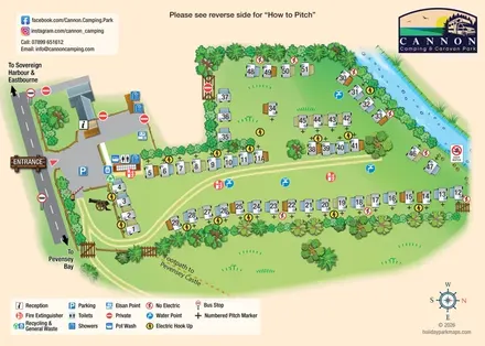
Illustrated touring-pitch plan and colour-coded coastal walking guide for Cannon Camping & Caravan Park.
 Explore the map ↗
United Kingdom
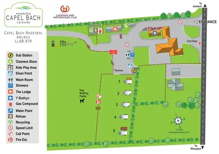
A small Anglesey touring-site map with dog-walking fields, stone-edged drives and a bold amenity key.
 Explore the map ↗
United Kingdom
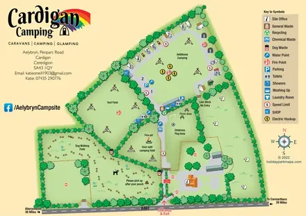
Illustrated farm-campsite map with mixed accommodation, named camping fields and a dedicated dog-walking area.
 Explore the map ↗
United Kingdom
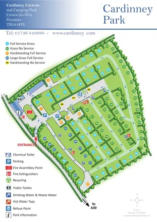
Colour-coded touring and camping pitches within Cardinney's hedge-divided site plan.
 Explore the map ↗
United Kingdom
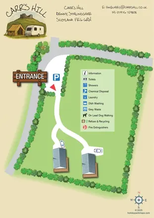
Carr's Hill: a compact illustrated glamping-area plan with branching access, planted boundaries and a painterly header.
 Explore the map ↗
United Kingdom
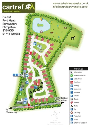
Tree-lined touring and camping map with an adult-only loop, island pond and clear facility key.
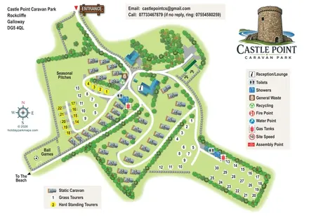 Explore the map ↗
United Kingdom
Illustrated mixed-accommodation park map with colour-coded touring pitches and a beach-direction route.
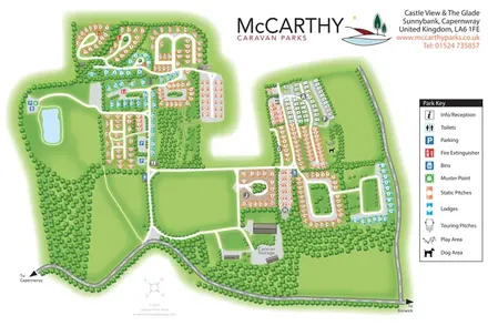 Explore the map ↗
United Kingdom
Tree-framed static, lodge and touring areas at Castle View & The Glade, with a pond, practical facilities and a clear colour-coded key.
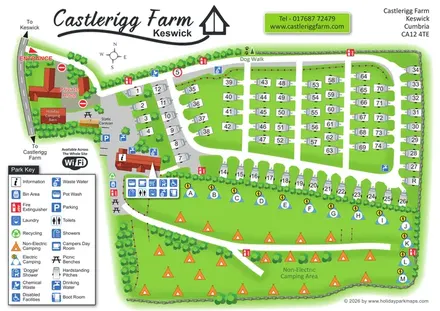 Explore the map ↗
United Kingdom
Castlerigg Farm’s bright illustrated plan combines numbered touring rows, lettered electric camping and an open camping field with a detailed amenities key and dog-facility wayfinding.
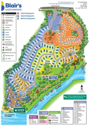 Explore the map ↗
United Kingdom
A colourful riverside park map combining touring pitches, holiday accommodation and treetop adventures.
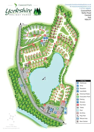 Explore the map ↗
United Kingdom
A lake-centred Cawood Park map with touring pitches, tree-lined holiday homes and clear entrance facilities.
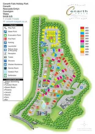 Explore the map ↗
United Kingdom
Woodland-edged caravan and touring park plan with colourful plots, clear arrivals information and a dedicated health-club panel.
LET’S MAP YOUR PARK
For a map quotation, find your park and draw a rough boundary around it. The area you select helps us work out the design time and price.
Draw your park for a quote ↗Or talk to our map designers
01751 473136