
 Explore the map ↗
United Kingdom
Chacewater Park
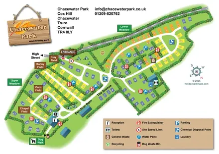
Chacewater Park touring map with named pitch fields, hedge-lined lanes and a large service key.
THE HOLIDAY PARK MAP COLLECTION
Browse 24 map examples, from Chacewater Park to Eden Valley Holiday Park.
← Explore the whole collectionCombine a country, landscape, facilities and accommodation type to find relevant examples.
Showing 73–96 of 336 · Select a map to read its story
Explore the map ↗United Kingdom
Chacewater Park touring map with named pitch fields, hedge-lined lanes and a large service key.
 Explore the map ↗
United Kingdom
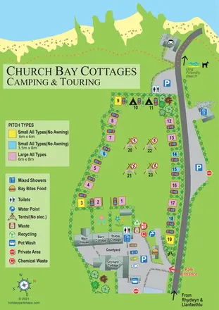
An illustrated coastal campsite map linking colour-coded pitches, farmhouse cottages and nearby Church Bay amenities.
 Explore the map ↗
United Kingdom
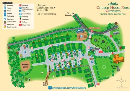
A rural Carmarthenshire site map combining touring pitches, glamping pods, farm landmarks and clear facility symbols.
 Explore the map ↗
United Kingdom
Woodland holiday homes, named camping fields and farm buildings on a colour-coded Nether Wasdale park map.
 Explore the map ↗
United Kingdom
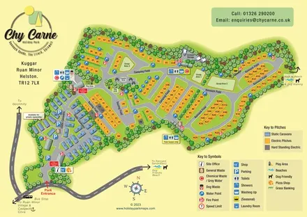
Tree-framed caravan, touring and camping map with named fields, seasonal facilities and beach-walk directions.
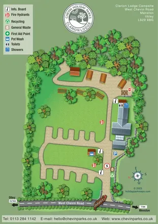 Explore the map ↗
United Kingdom
Tree-lined campsite map with touring bays, pod-style accommodation and clearly marked shared facilities.
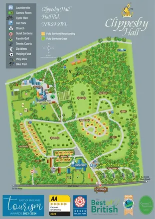 Explore the map ↗
United Kingdom
Woodland estate map with named pitch areas, serviced-pitch colours and a yellow dashed bike trail.
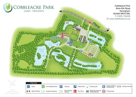 Explore the map ↗
United Kingdom
Lake-led park map with five named fishing waters, mixed accommodation and colour-coded visitor facilities.
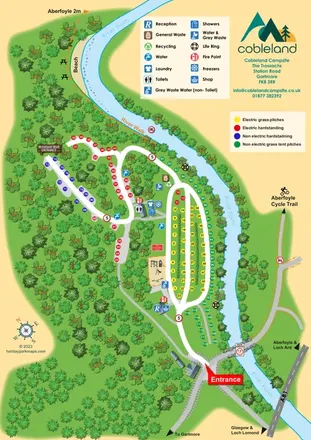 Explore the map ↗
United Kingdom
Colour-coded camping pitches, woodland routes and River Forth frontage at Cobleland Campsite.
 Explore the map ↗
United Kingdom
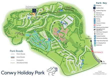
Colour-coded pitch areas, lodge roads and woodland walks at Conwy Holiday Park.
 Explore the map ↗
United Kingdom
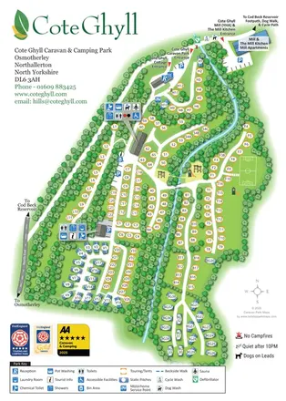
A wooded caravan and camping park plan with colour-coded pitches, a winding beck and clearly marked amenities.
 Explore the map ↗
United Kingdom
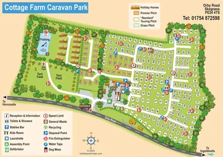
Illustrated touring and camping park map with numbered pitches, a fishing pond and a central farm courtyard.
 Explore the map ↗
United Kingdom
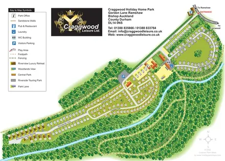
Colour-coded holiday-home and touring areas beside the River Gaunless, with woodland walks and a detailed visitor key.
 Explore the map ↗
United Kingdom
Woodland holiday-park map with named accommodation areas, touring loops and illustrated recreation facilities.
 Explore the map ↗
United Kingdom
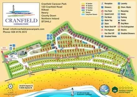
Colour-coded caravan sections, touring pitches and beach access on a coastal park map in County Down.
 Explore the map ↗
United Kingdom
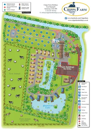
Illustrated farm holiday park plan combining riverside pitches, lakeside accommodation, animal fields and paw-print walking routes, with separate accommodation and facilities keys.
 Explore the map ↗
United Kingdom
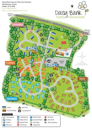
Colour-coded touring areas, illustrated lodges and glamping units within Daisy Bank’s tree-lined park plan.
 Explore the map ↗
United Kingdom
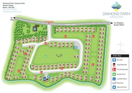
Numbered accommodation, a central green and tree-lined rhyne on the Diamond Farm park map.
 Explore the map ↗
United Kingdom
Illustrated caravan park plan with woodland and riverside walks, fishing pools and wildlife panels.
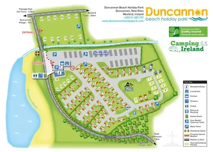 Explore the map ↗
Ireland
Beachside park plan with colour-coded mobile homes, touring/camping areas, glamping cabins and grouped service symbols.
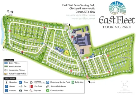 Explore the map ↗
United Kingdom
Coastal touring-park plan with three named fields, four pitch categories and lagoon-side walking connections.
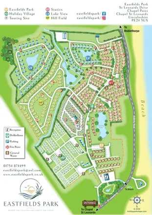 Explore the map ↗
United Kingdom
Six colour-coded neighbourhoods, lakeside layouts and coastal access on the Eastfields Park map.
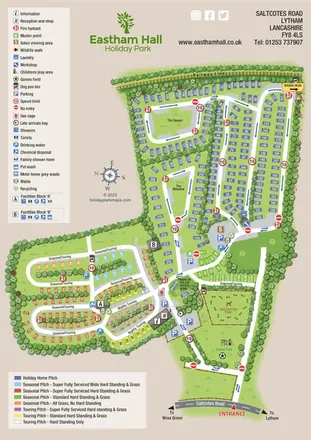 Explore the map ↗
United Kingdom
Colour-coded whole-park and holiday-home-section maps for Eastham Hall, Lytham.
 Explore the map ↗
United Kingdom
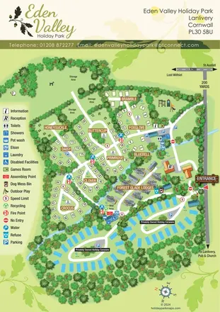
A tree-lined Cornwall park map with flower-named pitches, Forest Glade Lodges and two private-caravan loops.
LET’S MAP YOUR PARK
For a map quotation, find your park and draw a rough boundary around it. The area you select helps us work out the design time and price.
Draw your park for a quote ↗Or talk to our map designers
01751 473136