
 Explore the map ↗
United Kingdom
Guideacres
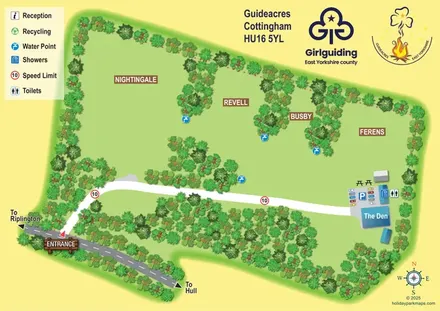
Guideacres campsite map with four tree-lined camping areas, The Den and a clearly illustrated arrival route.
THE HOLIDAY PARK MAP COLLECTION
Browse 24 map examples, from Guideacres to Hidden Valley Holiday Home Park.
Combine a country, landscape, facilities and accommodation type to find relevant examples.
Showing 217–240 of 577 · Select a map to read its story
Explore the map ↗United Kingdom
Guideacres campsite map with four tree-lined camping areas, The Den and a clearly illustrated arrival route.
 Explore the map ↗
United Kingdom
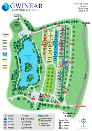
Colour-coded campsite plan beside a specimen lake, with named pods, washing facilities and an onward fishing route.
 Explore the map ↗
United Kingdom
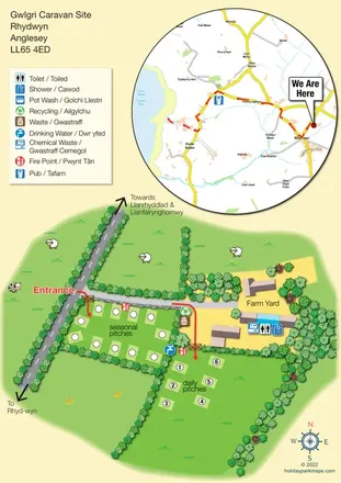
Bilingual Anglesey caravan-site map with seasonal and daily pitches, farmyard facilities and a circular Church Bay locator inset.
 Explore the map ↗
United Kingdom
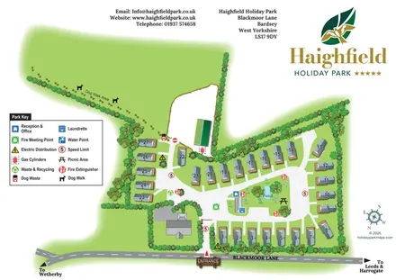
Numbered holiday homes, a central pond and an expansive dog walk at Haighfield Holiday Park.
 Explore the map ↗
United Kingdom
A lakeside holiday-park and fishery map with numbered accommodation, fishing positions and clearly grouped visitor services.
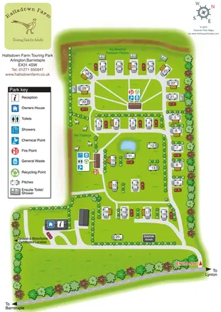 Explore the map ↗
United Kingdom
A countryside touring-park map with premium en-suite pitches, a pond and clear arrival wayfinding.
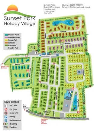 Explore the map ↗
United Kingdom
Five colour-coded park sections, two fishing lakes and linked drives on a Sunset Park-branded plan including Hambleton Country Park.
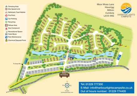 Explore the map ↗
United Kingdom
Mixed-accommodation campsite map with a water-feature corridor, touring rows and natterjack toad habitat.
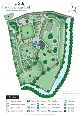 Explore the map ↗
United Kingdom
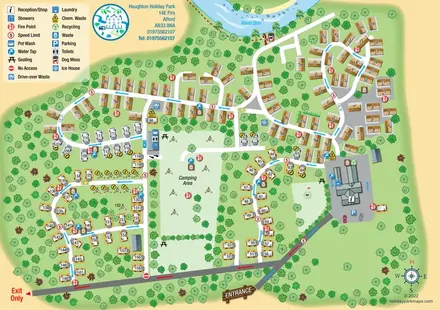
Riverside park map with colour-coded pitches, static caravan groups and a comprehensive facilities key.
 Explore the map ↗
United Kingdom
Riverside caravan and camping map with colour-coded traffic routes and a comprehensive facilities key.
 Explore the map ↗
United Kingdom
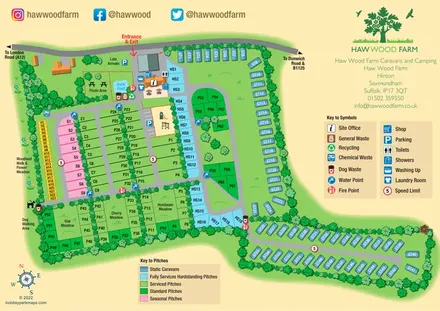
Colour-coded pitches, a leafy facilities hub and a long static-caravan wing at Haw Wood Farm, Suffolk.
 Explore the map ↗
United Kingdom
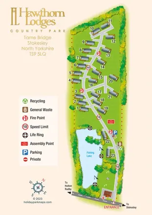
Portrait lodge park map with numbered accommodation, a fishing lake and a prominent gold branding column.
 Explore the map ↗
United Kingdom
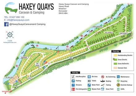
A diagonal riverside pitch map with named sections, colour-coded pitch types and separate visitor-facility keys.
 Explore the map ↗
United Kingdom
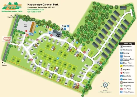
Numbered touring pitches and a tree-lined holiday-home avenue on an illustrated Hay-on-Wye park map.
 Explore the map ↗
United Kingdom
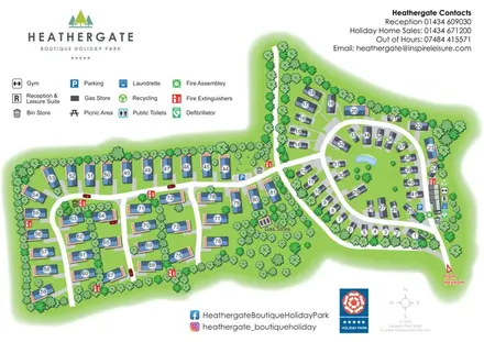
A landscaped holiday-home park plan with numbered units, an oval pond-side loop and branching western lanes.
 Explore the map ↗
United Kingdom
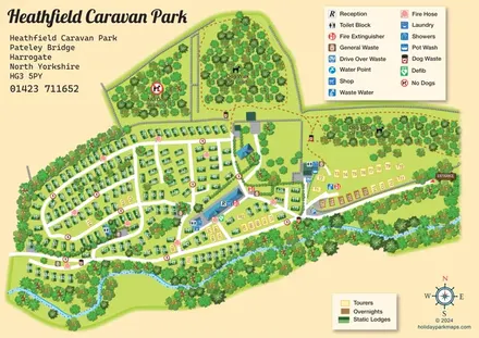
A detailed countryside park plan with static accommodation, touring pitches, woodland dog walks and a winding watercourse.
 Explore the map ↗
United Kingdom
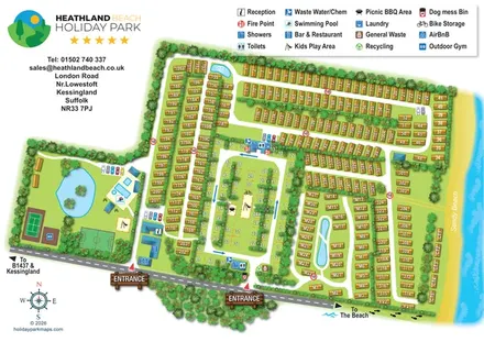
Illustrated Suffolk coastal park map with planted accommodation rows, central pitches, leisure facilities and beach directions.
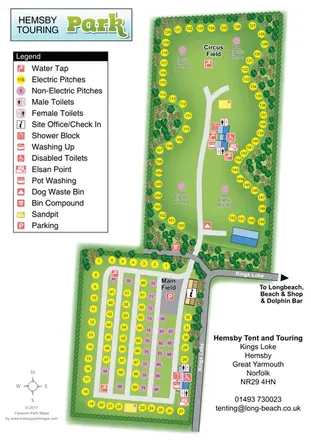 Explore the map ↗
United Kingdom
Two-field touring and camping map with colour-coded pitches, service points and tree-lined boundaries.
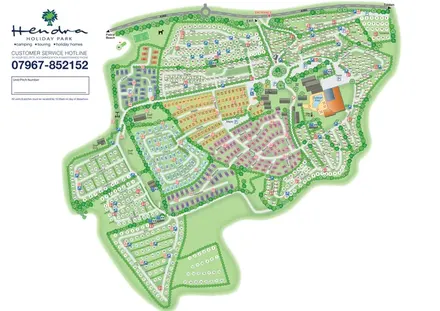 Explore the map ↗
United Kingdom
Colour-coded holiday homes, numbered pitch fields and a prominent pool complex on Hendra's whole-park plan.
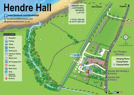 Explore the map ↗
United Kingdom
Coastal camping, touring and glamping map with a railway-side layout, beach path and illustrated rural surroundings.
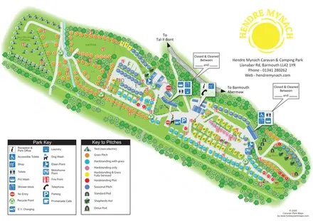 Explore the map ↗
United Kingdom
Diagonal railway-edge park plan with colour-coded pitches, non-electric camping and illustrated glamping accommodation.
 Explore the map ↗
United Kingdom
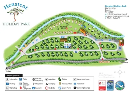
A tree-lined riverside park plan with colour-coded accommodation, a paw-print dog walk and a comprehensive visitor-service key.
 Explore the map ↗
United Kingdom
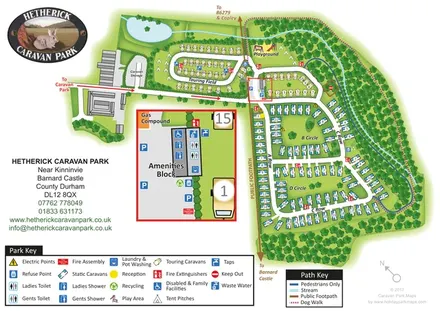
Woodland caravan park map with named pitch areas, walking routes and an enlarged amenities block.
 Explore the map ↗
United Kingdom
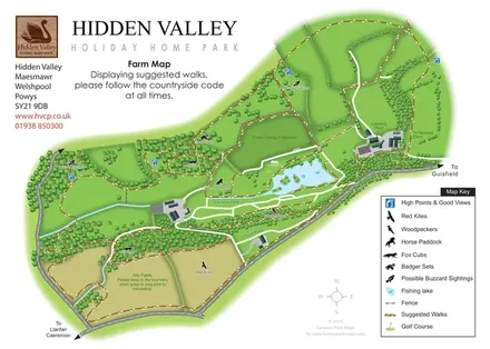
Hidden Valley farm map with suggested walks, wildlife landmarks, viewpoints and a fishing lake.
LET’S MAP YOUR PARK
For a map quotation, find your park and draw a rough boundary around it. The area you select helps us work out the design time and price.
Draw your park for a quote ↗Or talk to our map designers
01751 473136