
 Explore the map ↗
United Kingdom
Poplar Grove Farm Caravan Park
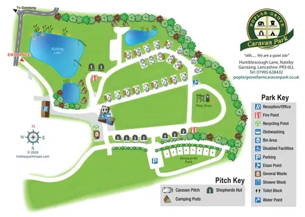
Illustrated touring and glamping park map with fishing lake, named huts and separate visitor keys.
THE HOLIDAY PARK MAP COLLECTION
Browse 24 map examples, from Poplar Grove Farm Caravan Park to Springhill Farm.
← Explore the whole collectionCombine a country, landscape, facilities and accommodation type to find relevant examples.
Showing 169–192 of 239 · Select a map to read its story
Explore the map ↗United Kingdom
Illustrated touring and glamping park map with fishing lake, named huts and separate visitor keys.
 Explore the map ↗
United Kingdom
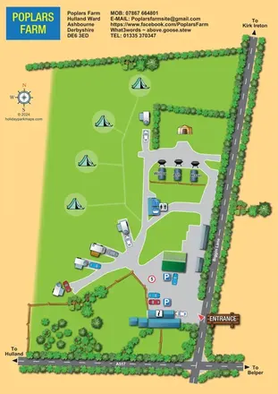
A colourful rural campsite plan with touring branches, open camping grass and three named pods beside Biggin Lane.
 Explore the map ↗
Australia
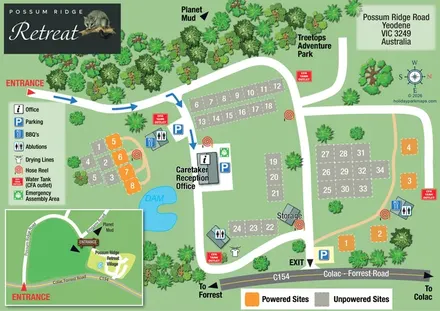
Possum Ridge Retreat site map with colour-coded pitches, a dam and local-road inset.
 Explore the map ↗
United Kingdom
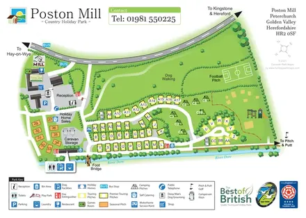
Riverside touring-park map with colour-coded pitches, dog-walking grounds and illustrated visitor facilities.
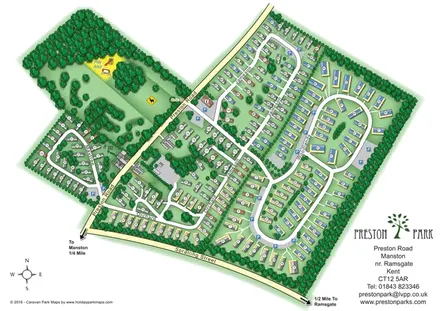 Explore the map ↗
United Kingdom
Numbered holiday homes, looping roads and woodland grounds at Preston Park, Kent.
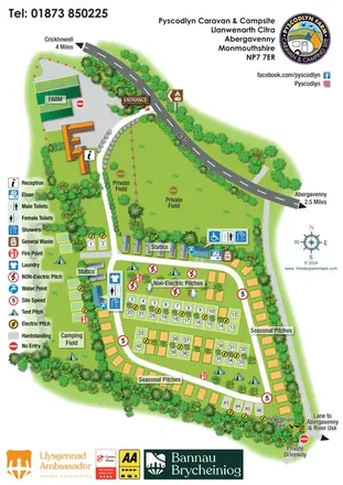 Explore the map ↗
United Kingdom
Illustrated farm campsite map with touring rows, seasonal pitches, a separate camping field and clear service symbols.
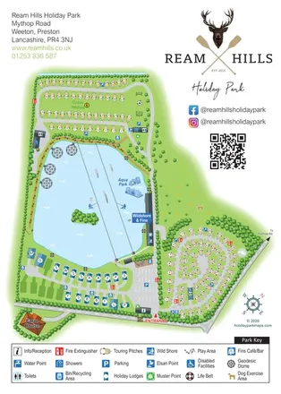 Explore the map ↗
United Kingdom
Lake-centred park map with touring areas, lodges, geodesic domes and illustrated watersports.
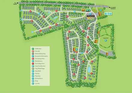 Explore the map ↗
United Kingdom
Tree-lined holiday-home park map with a showground, owners’ lounge and paw-print dog field.
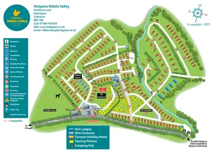 Explore the map ↗
United Kingdom
Colour-coded Ribble Valley holiday-park map with touring pitches, hire accommodation and a tree-lined watercourse.
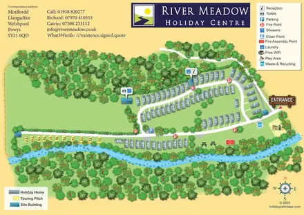 Explore the map ↗
United Kingdom
Riverside park map with numbered holiday homes, a separate touring strip and illustrated woodland.
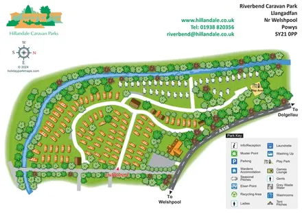 Explore the map ↗
United Kingdom
Riverbend's tree-lined river bend, contrasting caravan areas and A458 approach shown in a colourful illustrated plan.
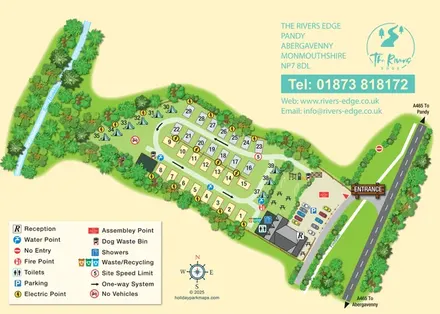 Explore the map ↗
United Kingdom
A compact riverside touring and camping map with a one-way pitch loop, illustrated planting and a clear entrance hub.
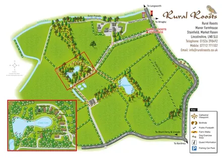 Explore the map ↗
United Kingdom
Rural Roosts farm overview with lakeside lodge inset, walking routes and countryside visitor features.
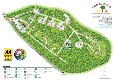 Explore the map ↗
United Kingdom
Woodland park map with lettered pitch clearings, a Paddock loop and distributed facility symbols.
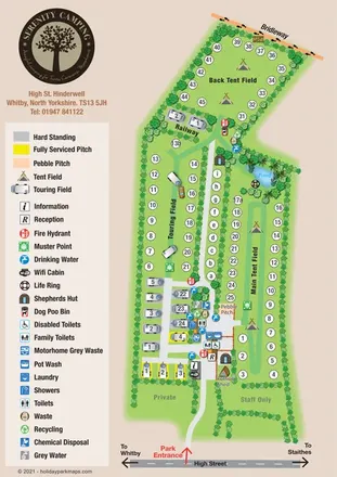 Explore the map ↗
United Kingdom
Portrait campsite map with touring and tent fields, shepherds’ huts, a pond and a boundary bridleway.
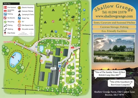 Explore the map ↗
United Kingdom
Illustrated farm campsite plan with fishing pond, public footpaths and a photographic promotional panel.
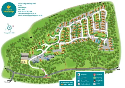 Explore the map ↗
United Kingdom
A woodland holiday-park plan with numbered caravans, a pink dotted dog walk and teal Holgates branding.
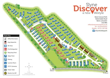 Explore the map ↗
United Kingdom
A tree-lined holiday-home park plan with coded plots, service icons and bold Slyne branding.
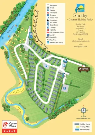 Explore the map ↗
United Kingdom
Illustrated Smithy Park map with riverside touring pitches, holiday-home rows and a footprint-marked canal footpath.
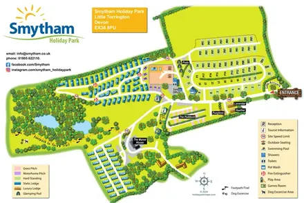 Explore the map ↗
United Kingdom
Colour-coded accommodation, woodland ponds and a Tarka Trail footpath on Smytham’s illustrated park map.
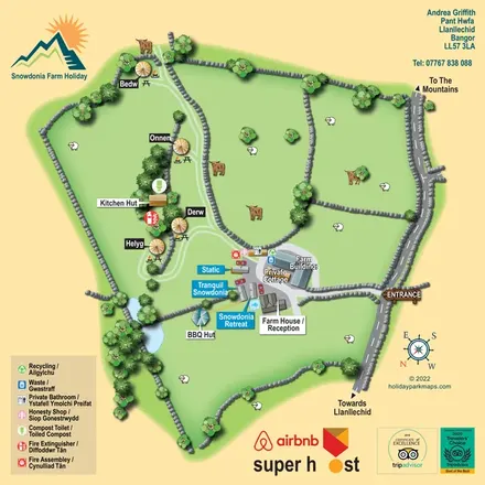 Explore the map ↗
United Kingdom
A bilingual farm-stay map with named yurts, holiday homes, stone-walled pasture and tree-fringed ponds.
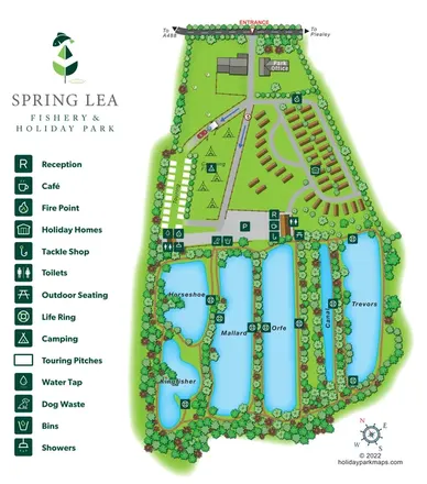 Explore the map ↗
United Kingdom
Illustrated Spring Lea park map combining six named fishing waters, holiday homes, touring pitches and camping.
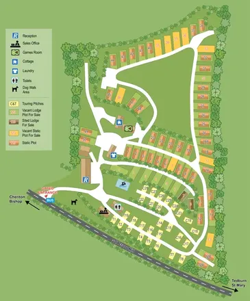 Explore the map ↗
United Kingdom
A tree-framed Devon park plan combining touring pitches, static and lodge plots, facility symbols and sales-status colours.
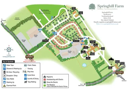 Explore the map ↗
United Kingdom
Mixed-accommodation farm map with separate entrances, touring loops, wigwams, cottages and an open camping meadow.
LET’S MAP YOUR PARK
For a map quotation, find your park and draw a rough boundary around it. The area you select helps us work out the design time and price.
Draw your park for a quote ↗Or talk to our map designers
01751 473136