
 Explore the map ↗
United Kingdom
Carr's Hill
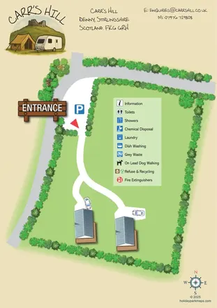
Carr's Hill: a compact illustrated glamping-area plan with branching access, planted boundaries and a painterly header.
THE HOLIDAY PARK MAP COLLECTION
Browse 24 map examples, from Carr's Hill to Harford Bridge Holiday Park.
← Explore the whole collectionCombine a country, landscape, facilities and accommodation type to find relevant examples.
Showing 25–48 of 135 · Select a map to read its story
Explore the map ↗United Kingdom
Carr's Hill: a compact illustrated glamping-area plan with branching access, planted boundaries and a painterly header.
 Explore the map ↗
United Kingdom
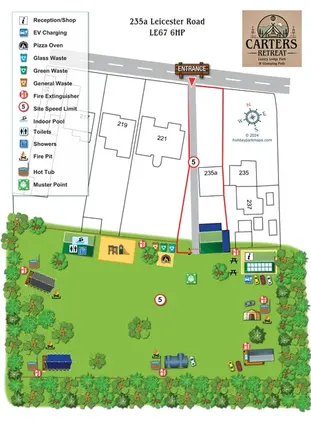
Portrait lodge and glamping map with a prominent entrance approach, tree-framed lawn, hot tubs and shared amenities.
 Explore the map ↗
United Kingdom
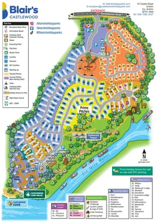
A colourful riverside park map combining touring pitches, holiday accommodation and treetop adventures.
 Explore the map ↗
United Kingdom
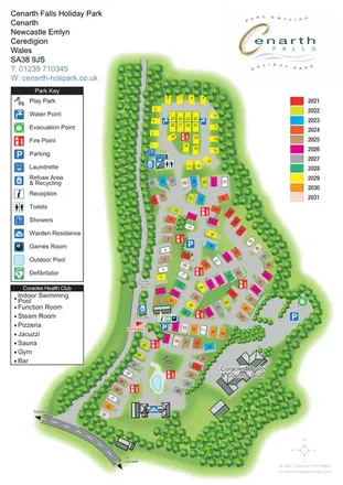
Woodland-edged caravan and touring park plan with colourful plots, clear arrivals information and a dedicated health-club panel.
 Explore the map ↗
United Kingdom
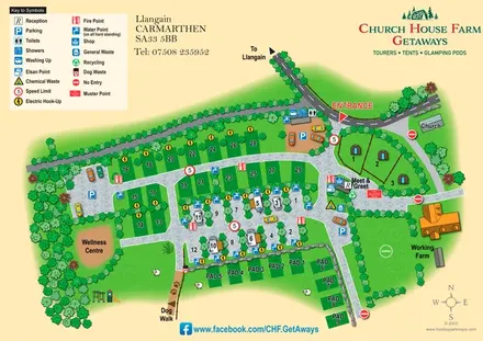
A rural Carmarthenshire site map combining touring pitches, glamping pods, farm landmarks and clear facility symbols.
 Explore the map ↗
United Kingdom
Woodland holiday homes, named camping fields and farm buildings on a colour-coded Nether Wasdale park map.
 Explore the map ↗
United Kingdom
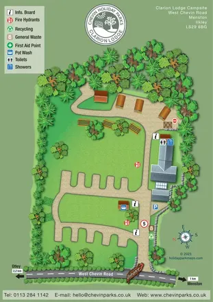
Tree-lined campsite map with touring bays, pod-style accommodation and clearly marked shared facilities.
 Explore the map ↗
United Kingdom
Woodland holiday-park map with named accommodation areas, touring loops and illustrated recreation facilities.
 Explore the map ↗
United Kingdom
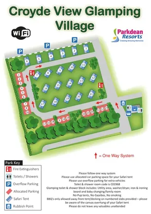
Safari-tent glamping map with numbered parking, one-way roads and shared facilities.
 Explore the map ↗
United Kingdom
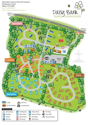
Colour-coded touring areas, illustrated lodges and glamping units within Daisy Bank’s tree-lined park plan.
 Explore the map ↗
United Kingdom
Illustrated caravan park plan with woodland and riverside walks, fishing pools and wildlife panels.
 Explore the map ↗
United Kingdom
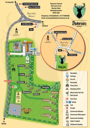
Illustrated glamping plan with named pitches, yurts, hot tubs and a circular Barnby Moor locator.
 Explore the map ↗
Ireland
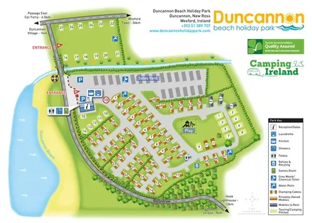
Beachside park plan with colour-coded mobile homes, touring/camping areas, glamping cabins and grouped service symbols.
 Explore the map ↗
United Kingdom
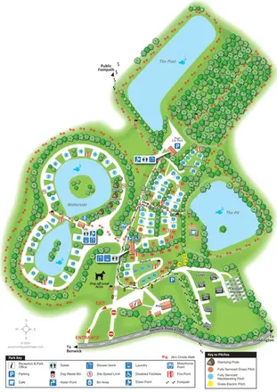
Lake-led park plan with colour-coded touring pitches, named pods and lodges, and a paw-print walking route.
 Explore the map ↗
United Kingdom
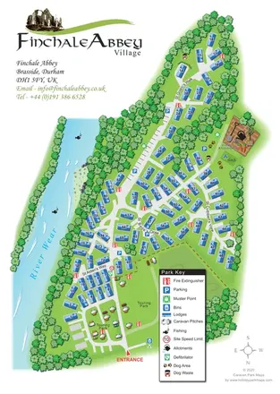
Finchale Abbey park map with numbered lodges, touring areas, River Wear frontage and village allotments.
 Explore the map ↗
United Kingdom
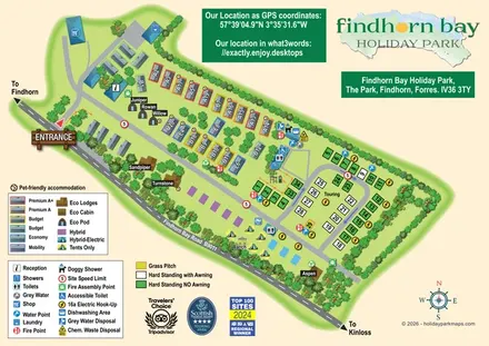
Illustrated mixed-accommodation park plan with colour-coded caravans, named eco units and a touring loop.
 Explore the map ↗
United Kingdom
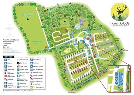
A woodland holiday-park map with colour-coded accommodation, camping fields and an enlarged facilities inset.
 Explore the map ↗
Denmark
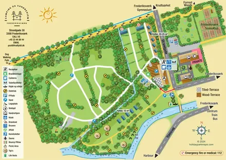
Illustrated canal-side campsite and hostel map with cabins, tipis, walking routes and town connections.
 Explore the map ↗
United Kingdom
Illustrated farm campsite map with touring pitches, pods, camping fields and a riverside dog-walk route.
 Explore the map ↗
United Kingdom
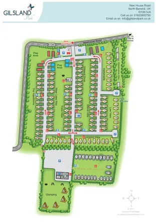
Branded North Berwick park map with named caravan rows, traffic arrows and a separate glamping garden.
 Explore the map ↗
United Kingdom
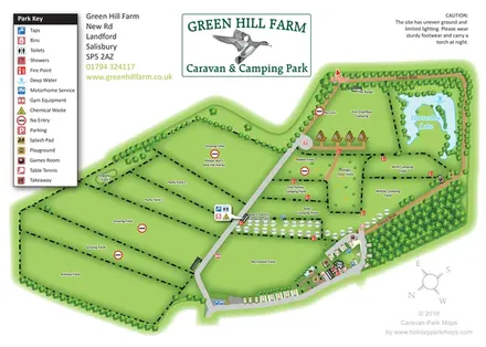
Green Hill Farm's field-based caravan and camping map combines numbered pitches, named camping areas, Horseshoe Lake and a clearly differentiated Forest Walk.
 Explore the map ↗
United Kingdom
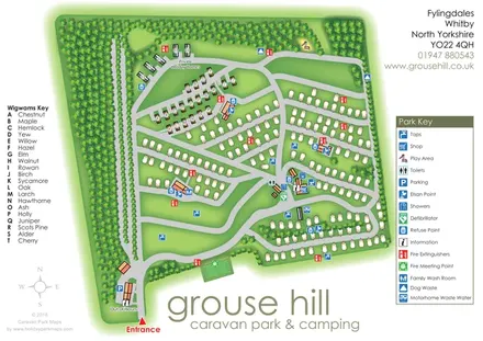
Woodland-framed Grouse Hill park map with touring rows, named wigwams and a comprehensive facility key.
 Explore the map ↗
United Kingdom
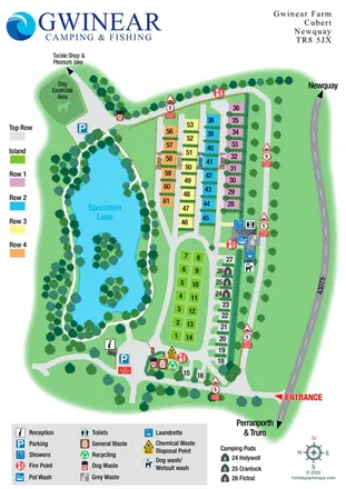
Colour-coded campsite plan beside a specimen lake, with named pods, washing facilities and an onward fishing route.
 Explore the map ↗
United Kingdom
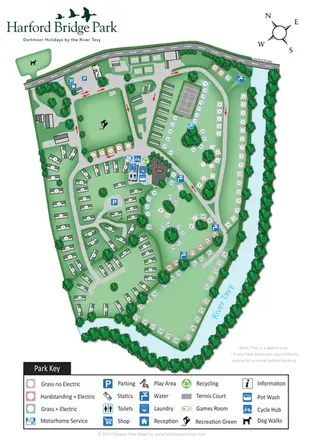
Riverside park map with colour-coded pitches, static caravan groups and a comprehensive facilities key.
LET’S MAP YOUR PARK
For a map quotation, find your park and draw a rough boundary around it. The area you select helps us work out the design time and price.
Draw your park for a quote ↗Or talk to our map designers
01751 473136