
 Explore the map ↗
United Kingdom
Low Farm Cottages and Campsite
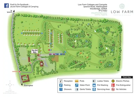
A leafy Suffolk campsite map combining numbered electric pitches, cottages and three named wildlife-area pods.
THE HOLIDAY PARK MAP COLLECTION
Browse 24 map examples, from Low Farm Cottages and Campsite to Ream Hills Holiday Park.
← Explore the whole collectionCombine a country, landscape, facilities and accommodation type to find relevant examples.
Showing 73–96 of 135 · Select a map to read its story
Explore the map ↗United Kingdom
A leafy Suffolk campsite map combining numbered electric pitches, cottages and three named wildlife-area pods.
 Explore the map ↗
United Kingdom
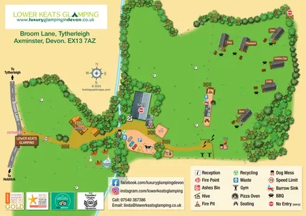
A named safari-lodge map with farm paddocks, shared outdoor amenities and a tree-lined stream.
 Explore the map ↗
United Kingdom
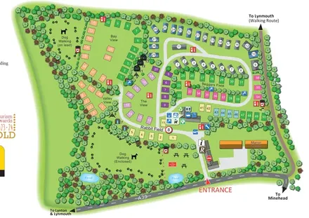
A tree-lined mixed-accommodation park map with named pitch areas, two dog-walking spaces and a route towards Lynmouth.
 Explore the map ↗
United Kingdom
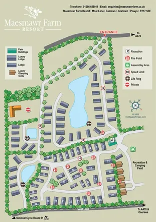
Pond-centred lodge resort map with glamping tents, landscaped roads and a recreation and camping field.
 Explore the map ↗
United Kingdom
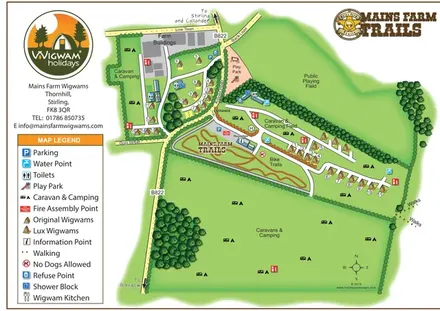
Illustrated farm glamping map with two wigwam styles, camping fields and a branded bike-trail area.
 Explore the map ↗
United Kingdom
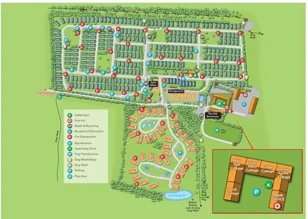
Tree-lined accommodation blocks, lodge loops and a detailed cottage courtyard inset at Malvern View.
 Explore the map ↗
United Kingdom
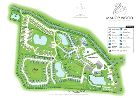
Pond-rich Manor Wood park map with seasonal pitches, statics, camping areas and a paw-print Woof Walk.
 Explore the map ↗
United Kingdom
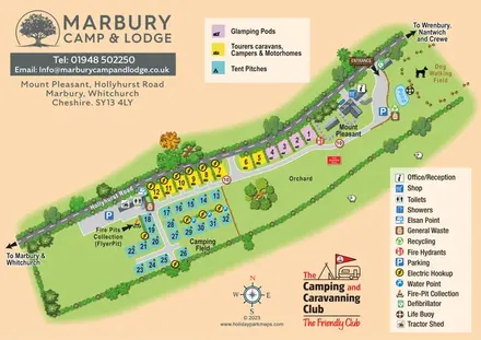
Colour-coded camping, touring and glamping map with an orchard, pond and dog-walking field.
 Explore the map ↗
United Kingdom
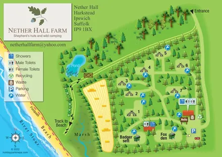
Tree-sheltered camping and named shepherd’s huts beside the River Stour at Nether Hall Farm.
 Explore the map ↗
United Kingdom
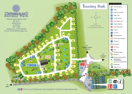
Tree-lined touring map with numbered hardstandings, camping pitches, named accommodation and woodland access.
 Explore the map ↗
United Kingdom
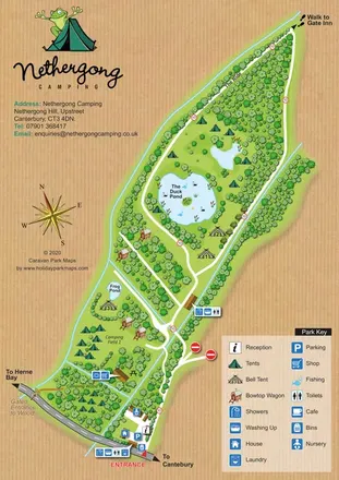
Woodland campsite map with ponds, bell tents, bowtop wagons and a woodgrain surround.
 Explore the map ↗
United Kingdom
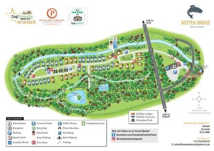
Illustrated riverside park map with colour-coded accommodation, fishing lakes and woodland dog-walking routes.
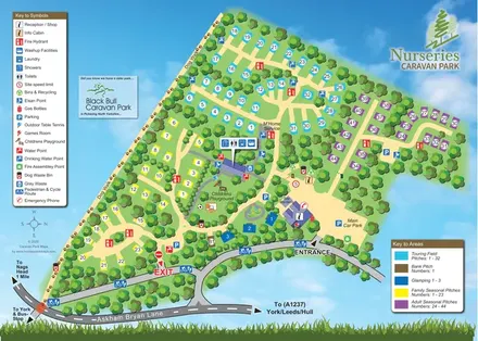 Explore the map ↗
United Kingdom
Colour-coded touring, seasonal and glamping areas with a pawprint dog walk and clearly marked arrival routes.
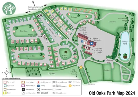 Explore the map ↗
United Kingdom
Colour-coded touring and glamping map with hedge-lined pitch groups, a fishing pond and detailed dog facilities.
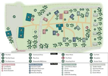 Explore the map ↗
United Kingdom
Colour-coded glamping pods, orchard motifs and a two-tier visitor key at Orchard Hideaways.
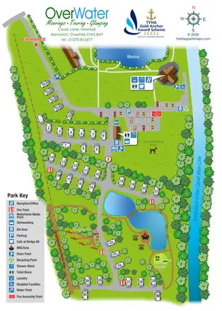 Explore the map ↗
United Kingdom
Canal-side touring and wagon glamping map with ponds, picnic paths and grouped facility callouts.
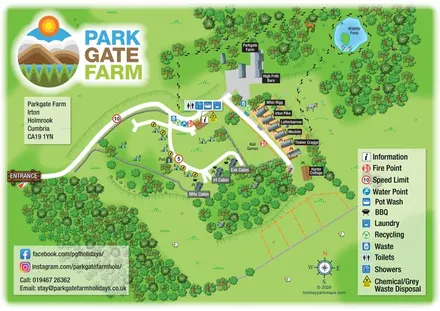 Explore the map ↗
United Kingdom
Mixed accommodation, woodland paths and a wildlife pond at Parkgate Farm, Cumbria.
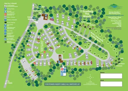 Explore the map ↗
United Kingdom
Bilingual touring, camping and glamping map with woodland, numbered pitches and illustrated amenities.
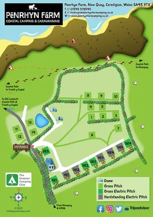 Explore the map ↗
United Kingdom
A colourful coastal farm campsite map with electric pitches, geodesic domes and footprint-marked walking routes.
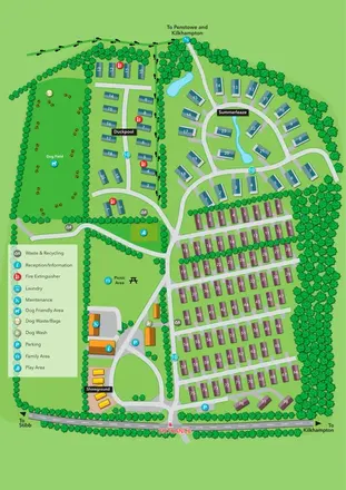 Explore the map ↗
United Kingdom
Portrait park plan with colour-coded accommodation, a landscaped Summerleaze loop and a prominent dog field.
 Explore the map ↗
United Kingdom
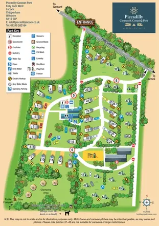
Illustrated touring, camping and glamping map with landscaped pitch groups, a central amenity hub and separate entrance and exit.
 Explore the map ↗
United Kingdom
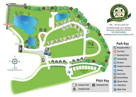
Illustrated touring and glamping park map with fishing lake, named huts and separate visitor keys.
 Explore the map ↗
United Kingdom
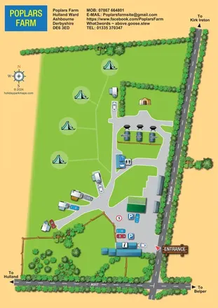
A colourful rural campsite plan with touring branches, open camping grass and three named pods beside Biggin Lane.
 Explore the map ↗
United Kingdom
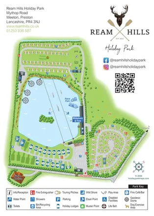
Lake-centred park map with touring areas, lodges, geodesic domes and illustrated watersports.
LET’S MAP YOUR PARK
For a map quotation, find your park and draw a rough boundary around it. The area you select helps us work out the design time and price.
Draw your park for a quote ↗Or talk to our map designers
01751 473136