
 Explore the map ↗
United Kingdom
Dunwich Cliffs Estate Caravan Park
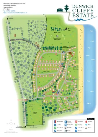
Coastal caravan estate map with woodland walks, open fields and clearly marked beach steps.
THE HOLIDAY PARK MAP COLLECTION
Browse 24 map examples, from Dunwich Cliffs Estate Caravan Park to Goose Lane Lakes Holiday Park.
← Explore the whole collectionCombine a country, landscape, facilities and accommodation type to find relevant examples.
Showing 73–96 of 273 · Select a map to read its story
Explore the map ↗United Kingdom
Coastal caravan estate map with woodland walks, open fields and clearly marked beach steps.
 Explore the map ↗
United Kingdom
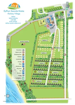
Portrait seaside park map with nine paddocks, an amenities hub and illustrated Benar Beach.
 Explore the map ↗
United Kingdom
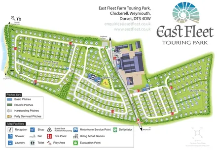
Coastal touring-park plan with three named fields, four pitch categories and lagoon-side walking connections.
 Explore the map ↗
United Kingdom
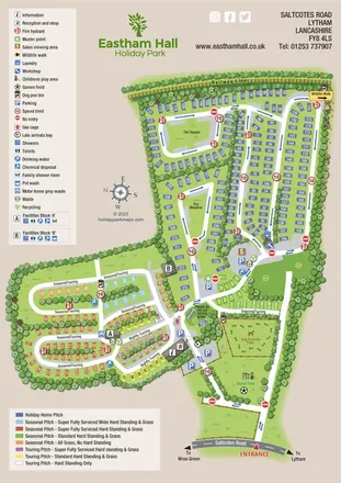
Colour-coded whole-park and holiday-home-section maps for Eastham Hall, Lytham.
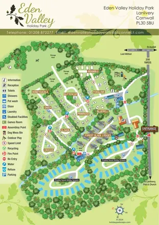 Explore the map ↗
United Kingdom
A tree-lined Cornwall park map with flower-named pitches, Forest Glade Lodges and two private-caravan loops.
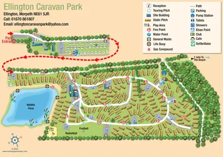 Explore the map ↗
United Kingdom
Illustrated caravan-park plan with a wildlife pond, separate touring area and beach-bound footpath.
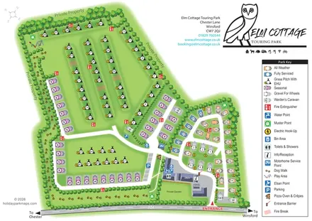 Explore the map ↗
United Kingdom
Tree-lined touring park plan with colour-coded pitches, a pawprint dog walk and distinctive owl branding.
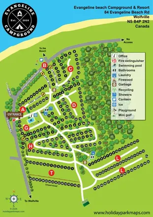 Explore the map ↗
Canada
Coastal campground plan with numbered pitches, service labels, wooded loops and a prominent facility legend.
 Explore the map ↗
United Kingdom
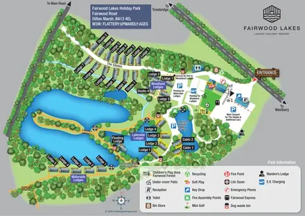
A woodland-and-lakes lodge park map with named accommodation areas, an island walk and clearly labelled parking.
 Explore the map ↗
United Kingdom
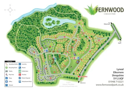
Fernwood's illustrated park plan combines numbered accommodation, woodland walks, a canal-side setting and an island-dotted lake.
 Explore the map ↗
United Kingdom
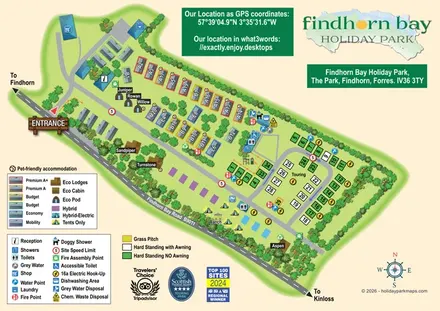
Illustrated mixed-accommodation park plan with colour-coded caravans, named eco units and a touring loop.
 Explore the map ↗
United Kingdom
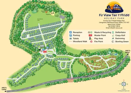
A wooded Mid Wales caravan park plan with numbered units, branching roads and a recreational field.
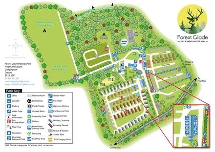 Explore the map ↗
United Kingdom
A woodland holiday-park map with colour-coded accommodation, camping fields and an enlarged facilities inset.
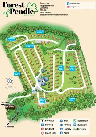 Explore the map ↗
United Kingdom
Tree-framed holiday-home plan with eight named neighbourhoods, cyan wayfinding panels and an illustrated Pasture Lane entrance.
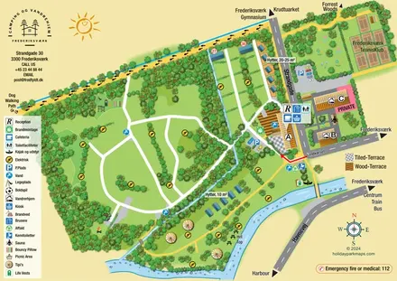 Explore the map ↗
Denmark
Illustrated canal-side campsite and hostel map with cabins, tipis, walking routes and town connections.
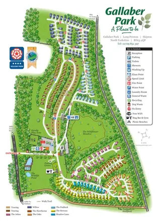 Explore the map ↗
United Kingdom
Colour-coded Gallaber Park map with touring areas, a wildflower meadow, woodland walks and visitor facilities.
 Explore the map ↗
United Kingdom
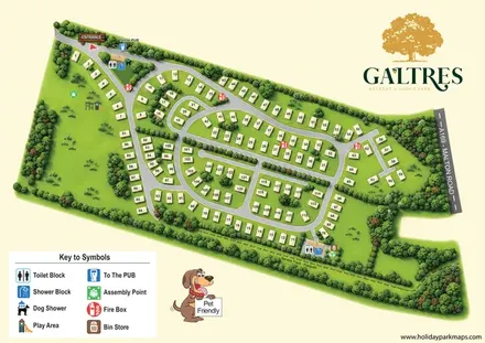
Numbered lodges, curving roads and woodland planting on a branded Galtres park map.
 Explore the map ↗
United Kingdom
Illustrated farm campsite map with touring pitches, pods, camping fields and a riverside dog-walk route.
 Explore the map ↗
United Kingdom
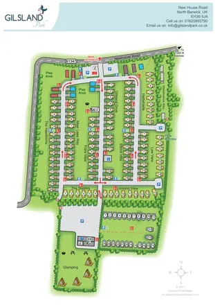
Branded North Berwick park map with named caravan rows, traffic arrows and a separate glamping garden.
 Explore the map ↗
United Kingdom
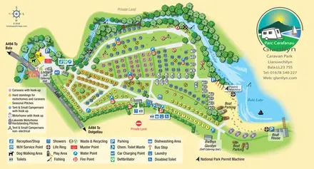
Colour-coded touring and camping map beside Afon Llafar and Bala Lake, with bilingual Glanllyn branding.
 Explore the map ↗
United Kingdom
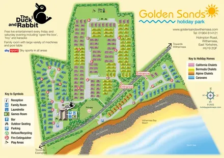
Colour-coded caravan and chalet map with coastal scenery, two road-side entrances and The Duck and Rabbit facilities.
 Explore the map ↗
United Kingdom
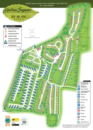
Tree-lined touring areas, The Paddock holiday homes and recreation spaces on Golden Square's illustrated park map.
 Explore the map ↗
United Kingdom
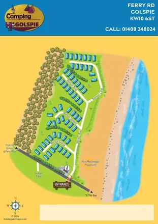
A colourful coastal holiday-park plan with named roads, clear arrival landmarks and an illustrated beach frontage.
 Explore the map ↗
United Kingdom
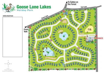
Tree-lined caravan park plan with linked road loops, a central pond and an illustrated fishing lake.
LET’S MAP YOUR PARK
For a map quotation, find your park and draw a rough boundary around it. The area you select helps us work out the design time and price.
Draw your park for a quote ↗Or talk to our map designers
01751 473136