
 Explore the map ↗
United Kingdom
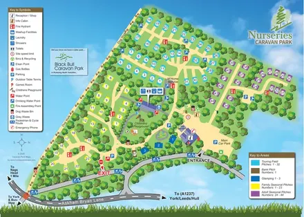
Nurseries Caravan Park
Colour-coded touring, seasonal and glamping areas with a pawprint dog walk and clearly marked arrival routes.
THE HOLIDAY PARK MAP COLLECTION
Browse 24 map examples, from Nurseries Caravan Park to Plas Coch Country & Leisure Retreat.
← Explore the whole collectionCombine a country, landscape, facilities and accommodation type to find relevant examples.
Showing 169–192 of 273 · Select a map to read its story
Explore the map ↗United Kingdom
Colour-coded touring, seasonal and glamping areas with a pawprint dog walk and clearly marked arrival routes.
 Explore the map ↗
United Kingdom
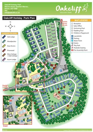
Tree-lined Oakcliff park plan with colour-coded accommodation, pool facilities and an enlarged arrival-area inset.
 Explore the map ↗
United Kingdom
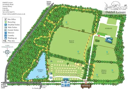
Illustrated Oakhill Leisure map with fishing lake, woodland walks, pitch rows and open rally fields.
 Explore the map ↗
United Kingdom
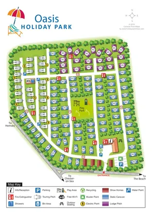
Colour-coded touring, lodge and static-caravan areas around a central play park, with a clearly marked California Road entrance.
 Explore the map ↗
United Kingdom
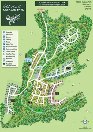
Colour-coded accommodation areas, touring facilities and woodland walks at Old Hall Caravan Park, Capernwray.
 Explore the map ↗
United Kingdom
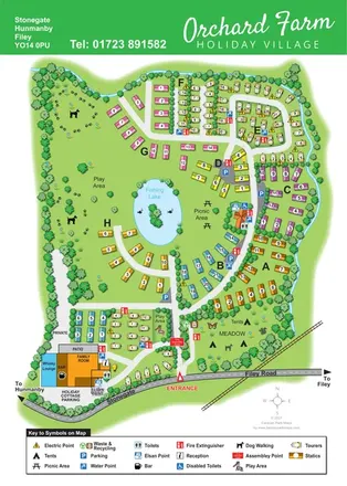
Colour-coded caravan sections, a fishing lake and tent meadow on a tree-lined Hunmanby holiday village map.
 Explore the map ↗
United Kingdom
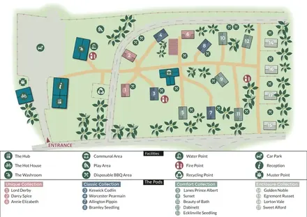
Colour-coded glamping pods, orchard motifs and a two-tier visitor key at Orchard Hideaways.
 Explore the map ↗
United Kingdom
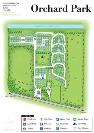
Orchard Holiday Park map with curved accommodation clusters, dog-walking lawns and a named waterside boundary.
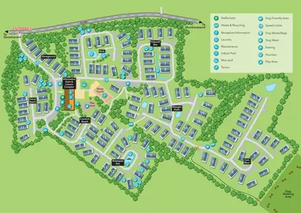 Explore the map ↗
United Kingdom
Oyster Bay illustrated park plan with named holiday-home sections, a central leisure hub and dog walking access.
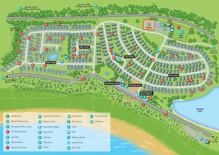 Explore the map ↗
United Kingdom
Coastal holiday-park plan with named caravan neighbourhoods, dune paths, leisure facilities and a wildlife lake.
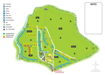 Explore the map ↗
United Kingdom
Riverside campsite plan with named fields, colour-coded pitches and a central amenity cluster.
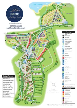 Explore the map ↗
United Kingdom
Portrait park map combining colour-coded pitches, static-caravan areas and Ullswater access.
 Explore the map ↗
United Kingdom
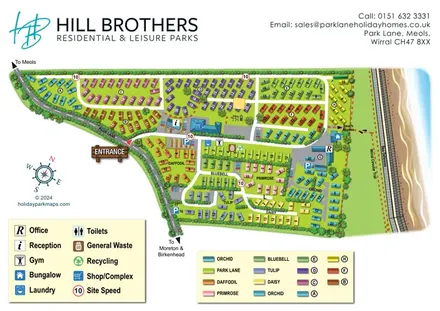
Colour-coded holiday-home neighbourhoods beside the Wirral coast, with facility keys and a marked beach-access route.
 Explore the map ↗
United Kingdom
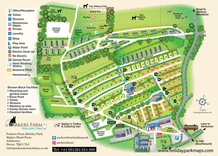
A farm-themed Devon holiday-park map with lettered pitch rows, caravan lanes, animal fields and detailed visitor facilities.
 Explore the map ↗
United Kingdom
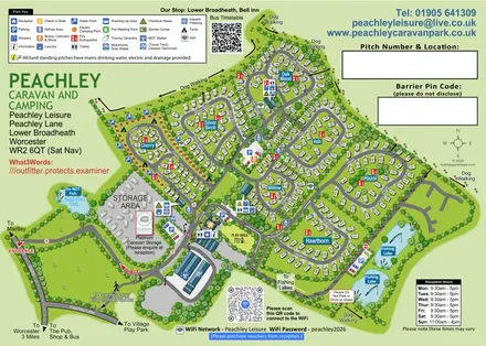
Tree-named touring areas, electric camping pitches and fishing lakes on an illustrated Peachley Leisure visitor map.
 Explore the map ↗
United Kingdom
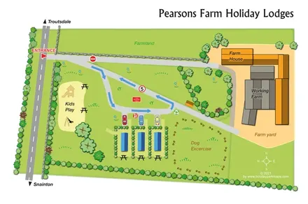
A compact farm-based lodge map with arrowed access, play space and a paw-print dog exercise area.
 Explore the map ↗
United Kingdom
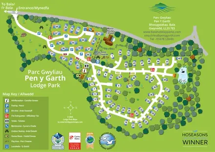
Bilingual lodge park map with numbered properties, looping roads, woodland planting and a swan pond.
 Explore the map ↗
United Kingdom
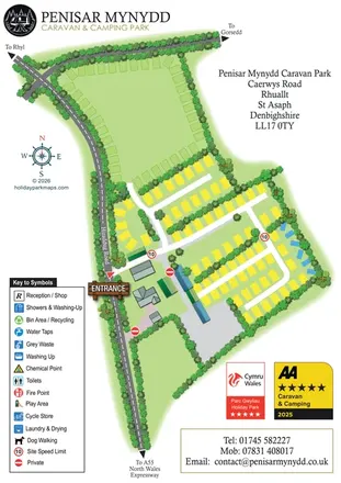
Portrait park map with perimeter pitches, planted touring rows and clear roadside arrival information.
 Explore the map ↗
United Kingdom
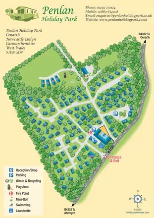
Woodland holiday-park map with blue-roofed homes, branching lanes, a swimming pool and pictorial facility symbols.
 Explore the map ↗
United Kingdom
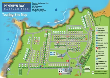
Coastal touring-site map with colour-coded seasonal pitches, facility callouts, a slipway and beach access.
 Explore the map ↗
United Kingdom
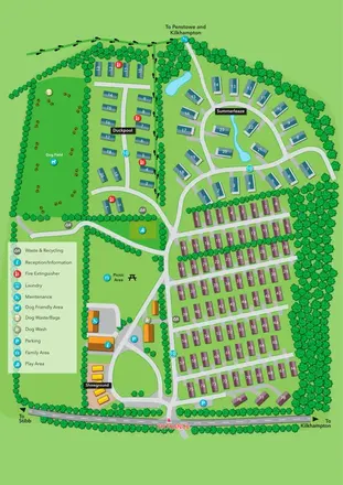
Portrait park plan with colour-coded accommodation, a landscaped Summerleaze loop and a prominent dog field.
 Explore the map ↗
United Kingdom
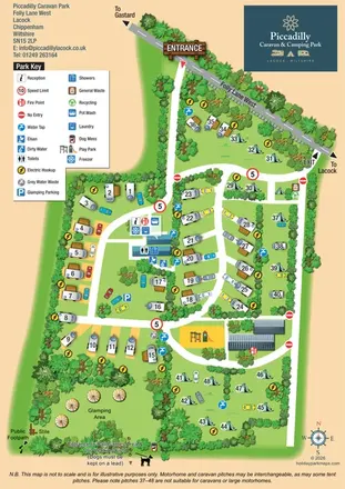
Illustrated touring, camping and glamping map with landscaped pitch groups, a central amenity hub and separate entrance and exit.
 Explore the map ↗
United Kingdom
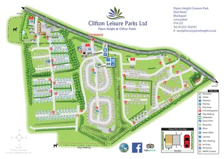
Whole-park and touring-area maps with named lanes, grouped facility callouts and dog-walking routes.
 Explore the map ↗
United Kingdom
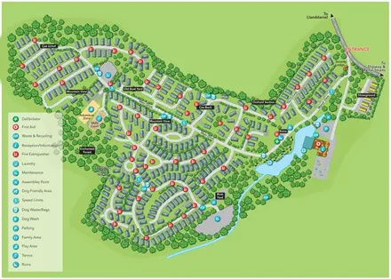
A tree-framed Anglesey retreat map with named holiday-home sections, a waterside Nature Trail and a clear facility key.
LET’S MAP YOUR PARK
For a map quotation, find your park and draw a rough boundary around it. The area you select helps us work out the design time and price.
Draw your park for a quote ↗Or talk to our map designers
01751 473136