
 Explore the map ↗
United Kingdom
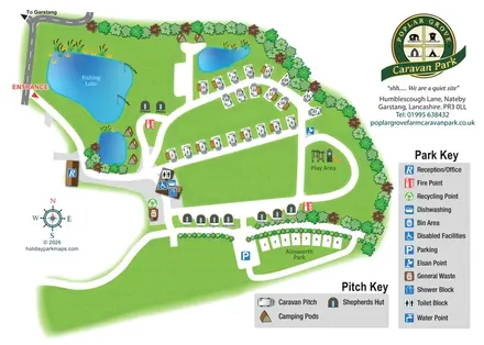
Poplar Grove Farm Caravan Park
Illustrated touring and glamping park map with fishing lake, named huts and separate visitor keys.
THE HOLIDAY PARK MAP COLLECTION
Browse 24 map examples, from Poplar Grove Farm Caravan Park to Silverdale Holiday Park.
← Explore the whole collectionCombine a country, landscape, facilities and accommodation type to find relevant examples.
Showing 193–216 of 273 · Select a map to read its story
Explore the map ↗United Kingdom
Illustrated touring and glamping park map with fishing lake, named huts and separate visitor keys.
 Explore the map ↗
United Kingdom
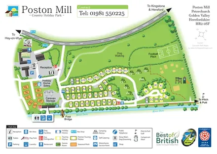
Riverside touring-park map with colour-coded pitches, dog-walking grounds and illustrated visitor facilities.
 Explore the map ↗
United Kingdom
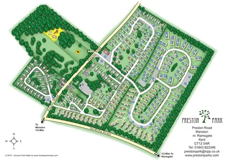
Numbered holiday homes, looping roads and woodland grounds at Preston Park, Kent.
 Explore the map ↗
United Kingdom
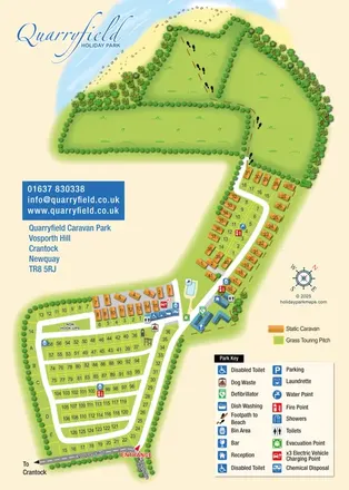
Coastal park map combining numbered touring pitches, orange caravans and a footprint-marked beach route.
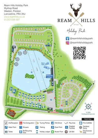 Explore the map ↗
United Kingdom
Lake-centred park map with touring areas, lodges, geodesic domes and illustrated watersports.
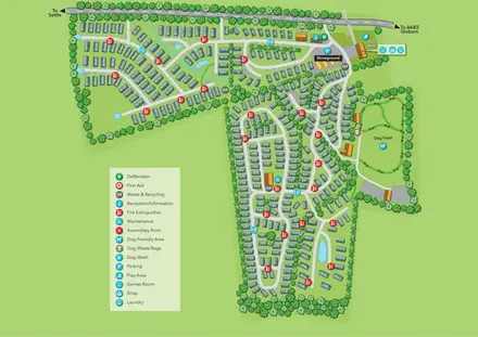 Explore the map ↗
United Kingdom
Tree-lined holiday-home park map with a showground, owners’ lounge and paw-print dog field.
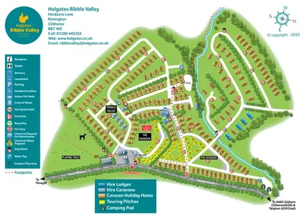 Explore the map ↗
United Kingdom
Colour-coded Ribble Valley holiday-park map with touring pitches, hire accommodation and a tree-lined watercourse.
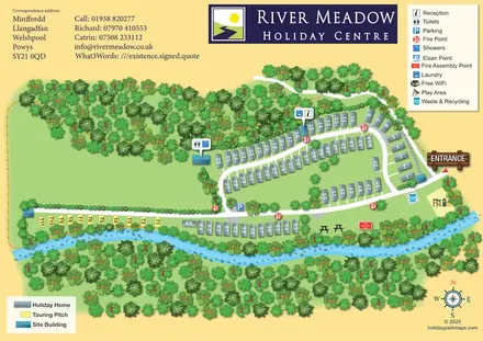 Explore the map ↗
United Kingdom
Riverside park map with numbered holiday homes, a separate touring strip and illustrated woodland.
 Explore the map ↗
Ireland
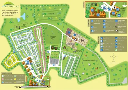
Colour-coded camping areas, illustrated glamping and a paddock walking route at River Valley, County Wicklow.
 Explore the map ↗
United Kingdom
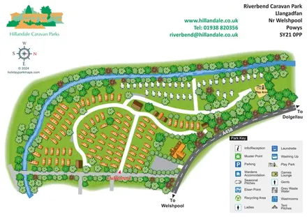
Riverbend's tree-lined river bend, contrasting caravan areas and A458 approach shown in a colourful illustrated plan.
 Explore the map ↗
United Kingdom
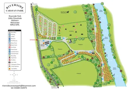
Illustrated riverside park plan with seasonal caravans, camping, paddocks and a long River Severn frontage.
 Explore the map ↗
Ireland
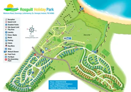
Illustrated coastal park plan with mobile-home loops, visitor pitches, pitch and putt, and a beach path.
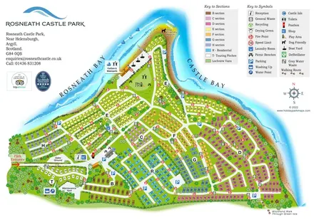 Explore the map ↗
United Kingdom
Colour-coded peninsula park map with numbered accommodation, waterfront recreation and shoreline walks.
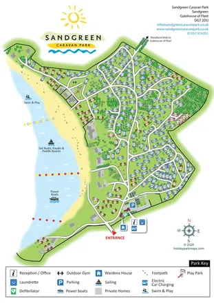 Explore the map ↗
United Kingdom
Wooded coastal park map with numbered holiday homes, beach activity zones and entrance facility callouts.
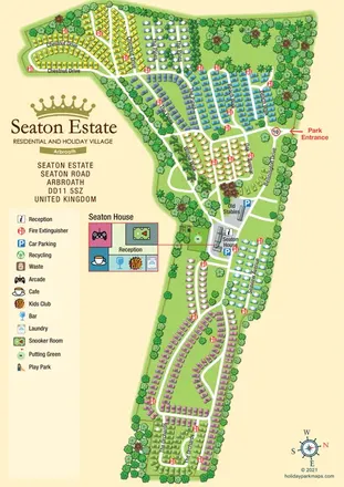 Explore the map ↗
United Kingdom
A colour-coded estate plan with named roads, tree-lined neighbourhoods and a linked Seaton House facilities inset.
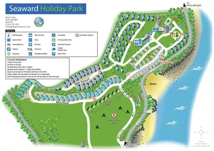 Explore the map ↗
United Kingdom
Coastal park map with named caravan sections, touring pitches, camping areas and a clearly illustrated facilities hub.
 Explore the map ↗
United Kingdom
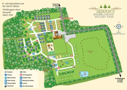
Woodland holiday-park map with numbered accommodation, a recreation field, play facilities and an Eco Area.
 Explore the map ↗
United Kingdom
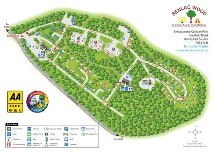
Woodland park map with lettered pitch clearings, a Paddock loop and distributed facility symbols.
 Explore the map ↗
United Kingdom
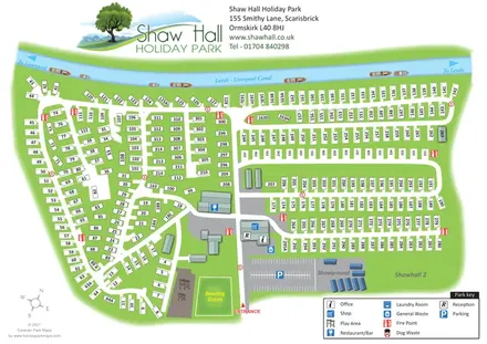
Canal-side holiday-park map with numbered static homes, a central facility hub and a showground.
 Explore the map ↗
United Kingdom
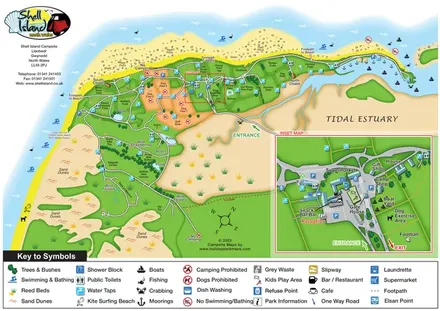
Coastal campsite map with named camping fields, harbour facilities and an enlarged arrival-hub inset.
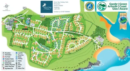 Explore the map ↗
United Kingdom
Illustrated Anglesey holiday-park map with numbered homes, family facilities and a footprint-marked coastal path.
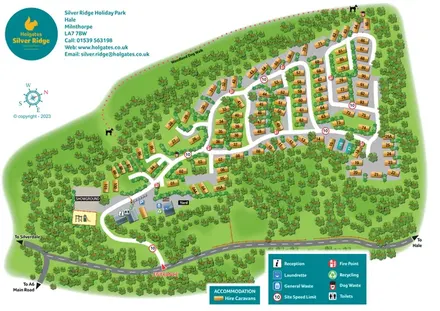 Explore the map ↗
United Kingdom
A woodland holiday-park plan with numbered caravans, a pink dotted dog walk and teal Holgates branding.
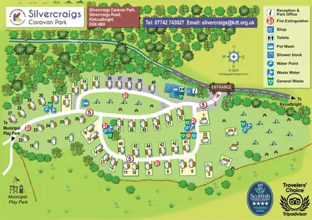 Explore the map ↗
United Kingdom
Illustrated touring and camping map with numbered pitches, shared facilities and a neighbouring municipal play park.
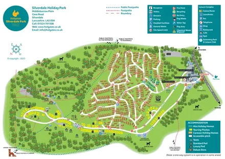 Explore the map ↗
United Kingdom
Colour-coded accommodation, woodland walks and an entrance-side leisure hub at Silverdale Holiday Park.
LET’S MAP YOUR PARK
For a map quotation, find your park and draw a rough boundary around it. The area you select helps us work out the design time and price.
Draw your park for a quote ↗Or talk to our map designers
01751 473136