
 Explore the map ↗
United Kingdom
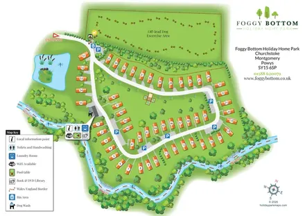
Foggy Bottom Holiday Home Park
Numbered holiday homes, a riverside border setting and a dedicated dog exercise field at Foggy Bottom.
THE HOLIDAY PARK MAP COLLECTION
Browse 24 map examples, from Foggy Bottom Holiday Home Park to Kingfisher Holiday Park.
← Explore the whole collectionCombine a country, landscape, facilities and accommodation type to find relevant examples.
Showing 25–48 of 124 · Select a map to read its story
Explore the map ↗United Kingdom
Numbered holiday homes, a riverside border setting and a dedicated dog exercise field at Foggy Bottom.
 Explore the map ↗
United Kingdom
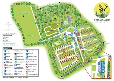
A woodland holiday-park map with colour-coded accommodation, camping fields and an enlarged facilities inset.
 Explore the map ↗
United States
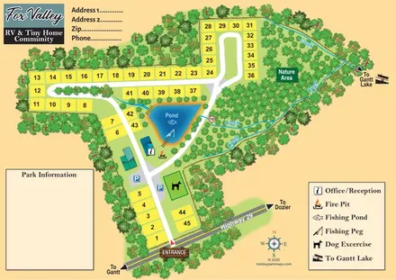
Numbered community plots, a fishing pond and creek-lined nature area at Fox Valley, Alabama.
 Explore the map ↗
United Kingdom
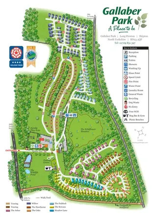
Colour-coded Gallaber Park map with touring areas, a wildflower meadow, woodland walks and visitor facilities.
 Explore the map ↗
United Kingdom
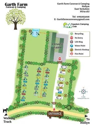
Illustrated farm campsite map with tent camping, electric touring bays, a pond and clearly marked private farm access.
 Explore the map ↗
United Kingdom
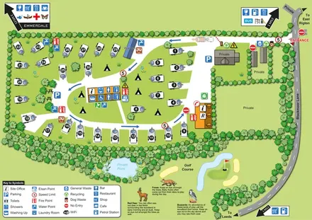
Numbered touring pitches, central amenities and wildlife illustrations in a tree-lined countryside site map.
 Explore the map ↗
United Kingdom
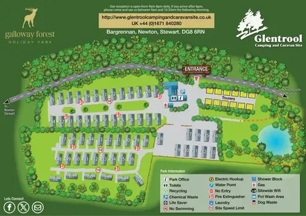
Woodland-framed Glentrool site map with numbered caravans, yellow touring pitches and a turquoise pond.
 Explore the map ↗
United Kingdom
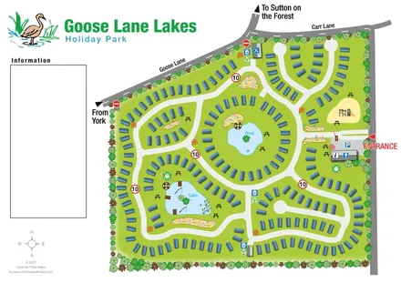
Tree-lined caravan park plan with linked road loops, a central pond and an illustrated fishing lake.
 Explore the map ↗
United Kingdom
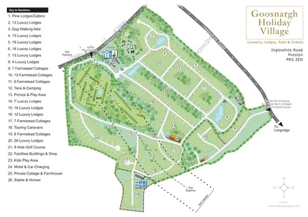
Numbered lodge and cottage areas, golf, ponds and shared facilities on a landscaped Goosnargh site plan.
 Explore the map ↗
United Kingdom
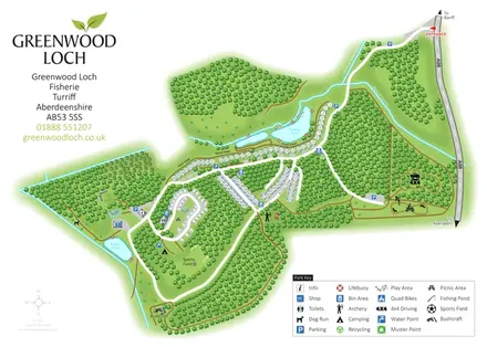
Woodland park map with pond-side holiday homes, touring, camping and outdoor activity areas.
 Explore the map ↗
United Kingdom
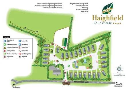
Numbered holiday homes, a central pond and an expansive dog walk at Haighfield Holiday Park.
 Explore the map ↗
United Kingdom
A lakeside holiday-park and fishery map with numbered accommodation, fishing positions and clearly grouped visitor services.
 Explore the map ↗
United Kingdom
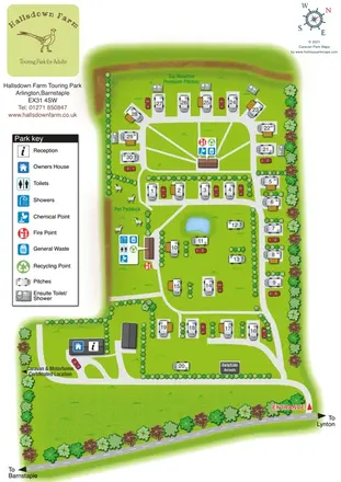
A countryside touring-park map with premium en-suite pitches, a pond and clear arrival wayfinding.
 Explore the map ↗
United Kingdom
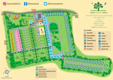
Colour-coded pitches, a leafy facilities hub and a long static-caravan wing at Haw Wood Farm, Suffolk.
 Explore the map ↗
United Kingdom
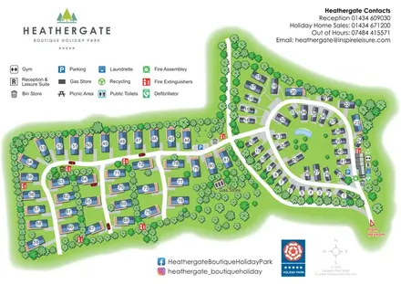
A landscaped holiday-home park plan with numbered units, an oval pond-side loop and branching western lanes.
 Explore the map ↗
United Kingdom
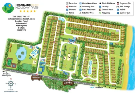
Illustrated Suffolk coastal park map with planted accommodation rows, central pitches, leisure facilities and beach directions.
 Explore the map ↗
United Kingdom
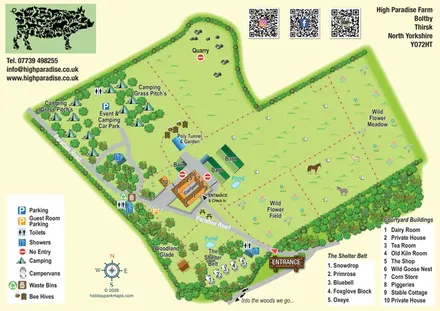
Illustrated farm-stay map with courtyard buildings, grass camping, named campervan pitches and wildflower areas.
 Explore the map ↗
United Kingdom
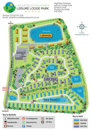
Colour-coded lodge-park plan with fishing lakes, looping roads and a clear entrance-side arrival area.
 Explore the map ↗
United Kingdom
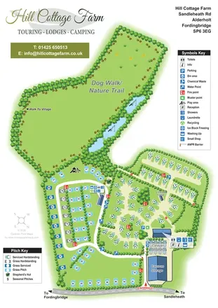
Portrait park map with mixed touring pitches, seasonal rows, ponds and an extensive dog walk.
 Explore the map ↗
United Kingdom
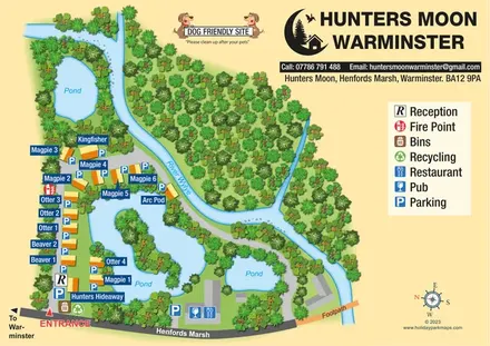
Named lodges, waterside landmarks and clear arrival information at Hunters Moon, Warminster.
 Explore the map ↗
United Kingdom
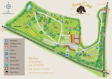
Illustrated James Estate Caravan Park plan with camping areas, a rally field and a tree-lined entrance drive.
 Explore the map ↗
United Kingdom
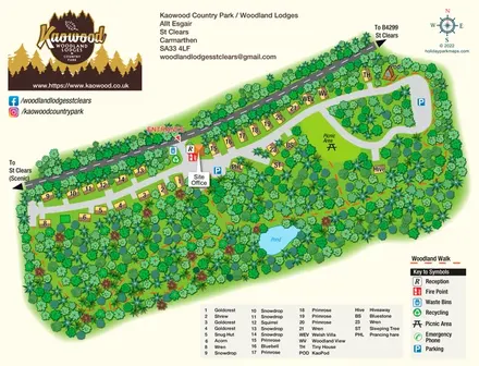
Woodland lodge map with named properties, a pond, picnic clearing and clearly separated walking routes.
 Explore the map ↗
United Kingdom
A woodland estate park map combining caravan loops, touring pitches, riverside paths and Bruce’s Cave landmarks.
 Explore the map ↗
United Kingdom
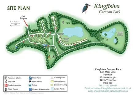
Tree-framed accommodation, lakeside homes and a woodland trail on Kingfisher Caravan Park's illustrated site plan.
LET’S MAP YOUR PARK
For a map quotation, find your park and draw a rough boundary around it. The area you select helps us work out the design time and price.
Draw your park for a quote ↗Or talk to our map designers
01751 473136