
 Explore the map ↗
United Kingdom
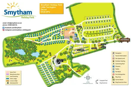
Smytham Holiday Park
Colour-coded accommodation, woodland ponds and a Tarka Trail footpath on Smytham’s illustrated park map.
THE HOLIDAY PARK MAP COLLECTION
Browse 24 map examples, from Smytham Holiday Park to Woodlands Country Park.
← Explore the whole collectionCombine a country, landscape, facilities and accommodation type to find relevant examples.
Showing 97–120 of 124 · Select a map to read its story
Explore the map ↗United Kingdom
Colour-coded accommodation, woodland ponds and a Tarka Trail footpath on Smytham’s illustrated park map.
 Explore the map ↗
United Kingdom
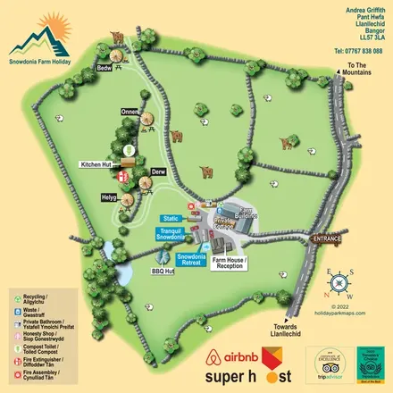
A bilingual farm-stay map with named yurts, holiday homes, stone-walled pasture and tree-fringed ponds.
 Explore the map ↗
United Kingdom
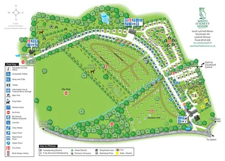
Tree-framed touring and glamping map with colour-coded pitches, named fields and separate dog-walking areas.
 Explore the map ↗
United Kingdom
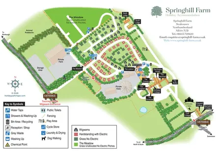
Mixed-accommodation farm map with separate entrances, touring loops, wigwams, cottages and an open camping meadow.
 Explore the map ↗
United Kingdom
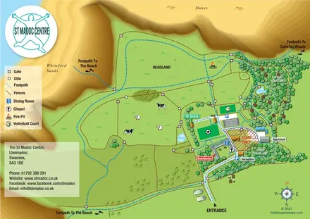
Illustrated group-centre map linking dormitories and activity spaces with woodland, headland and coastal paths.
 Explore the map ↗
United Kingdom
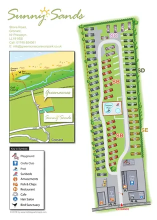
Colour-coded caravan park plan with an entrance leisure hub and a coastal location inset.
 Explore the map ↗
United Kingdom
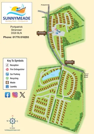
Illustrated Sunnymeade map with two entrances, pond-side accommodation and a nautical information column.
 Explore the map ↗
United Kingdom
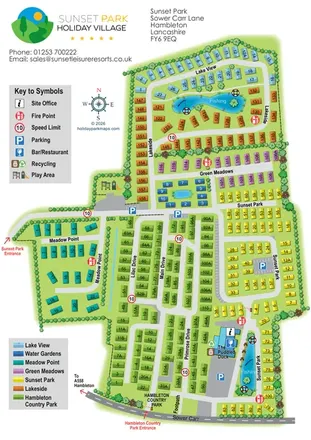
Colour-coded Sunset Park map with seven neighbourhoods, fishing waters and two named entrances.
 Explore the map ↗
United Kingdom
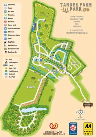
Colour-coded pitches, central facilities and woodland yurts on Tanner Farm Park's illustrated visitor map.
 Explore the map ↗
United Kingdom
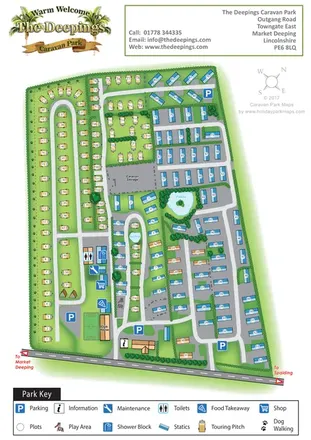
A mixed touring and static caravan park map with two ponds, a western dog-walking route and clearly grouped visitor facilities.
 Explore the map ↗
United Kingdom
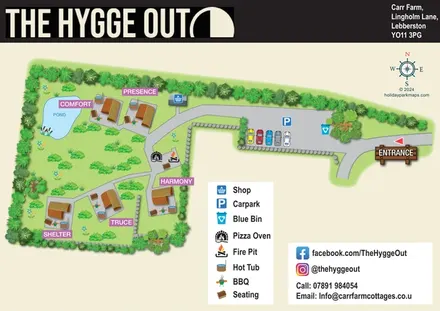
Five named glamping pods, private hot tubs and a shared fire-pit terrace in a landscaped countryside map.
 Explore the map ↗
United Kingdom
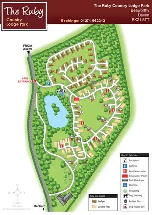
Wooded Devon lodge park map with a pond, branching roads and clearly differentiated vacant plots.
 Explore the map ↗
United Kingdom
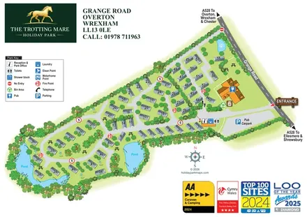
A landscape-led holiday park plan with numbered caravan-style homes, pond-side lanes and a clearly marked pub and reception area.
 Explore the map ↗
United Kingdom
Trevornick’s colour-coded park map, with mixed accommodation, fishing ponds, golf and wooded trails.
 Explore the map ↗
United Kingdom
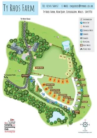
Illustrated farm campsite map with named pitches, two ponds and a Gothic Pod near New Quay.
 Explore the map ↗
United Kingdom
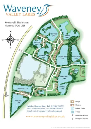
Illustrated lakeside caravan and lodge park map with numbered homes, wooded banks and a central reception cluster.
 Explore the map ↗
United Kingdom
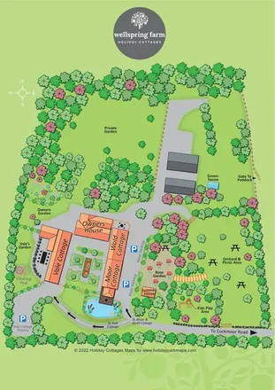
A courtyard cottage map with named parking, garden landmarks and an orchard picnic area.
 Explore the map ↗
United Kingdom
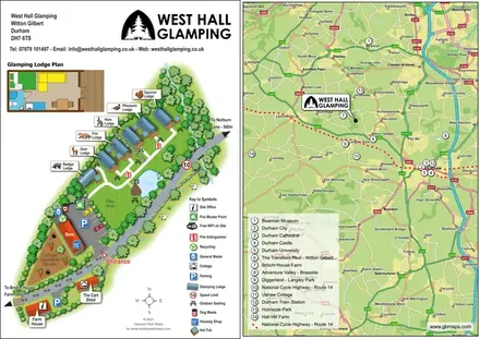
Animal-named glamping lodges, private hot tubs and a Durham-area locator on one illustrated page.
 Explore the map ↗
United Kingdom
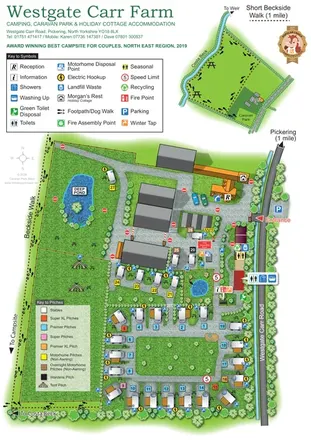
Illustrated touring-park plan with colour-coded pitches, ponds and a Beckside walking inset.
 Explore the map ↗
United Kingdom
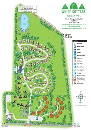
Tree-lined touring, camping and glamping map with a wildlife pond and Hornsea Rail Trail boundary.
 Explore the map ↗
United Kingdom
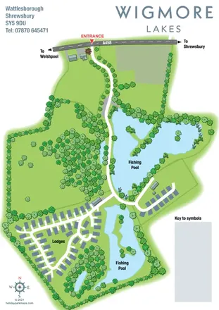
Landscape-led Wigmore Lakes map with two fishing pools, lodge roads and a clearly marked A458 entrance.
 Explore the map ↗
United Kingdom
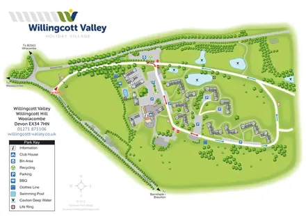
A branded cottage-village plan with numbered accommodation, parking courts, an outdoor pool and landscaped ponds.
 Explore the map ↗
United Kingdom
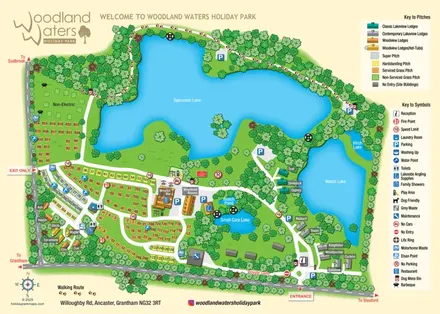
Lake-led holiday park map with colour-coded pitches, named lodges and a paw-print woodland route.
 Explore the map ↗
United Kingdom
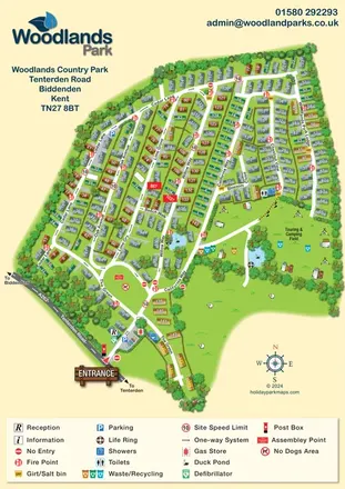
Numbered park-home lanes, duck ponds and an open camping field at Woodlands Country Park, Kent.
LET’S MAP YOUR PARK
For a map quotation, find your park and draw a rough boundary around it. The area you select helps us work out the design time and price.
Draw your park for a quote ↗Or talk to our map designers
01751 473136