
 Explore the map ↗
United Kingdom
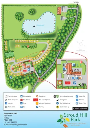
Stroud Hill Park
Tree-lined touring park map with a fishing lake, numbered pitches and an enlarged central facilities inset.
THE HOLIDAY PARK MAP COLLECTION
Browse 24 map examples, from Stroud Hill Park to The Leslie Sell Scout Activity Centre.
← Explore the whole collectionCombine a country, landscape, facilities and accommodation type to find relevant examples.
Showing 481–504 of 577 · Select a map to read its story
Explore the map ↗United Kingdom
Tree-lined touring park map with a fishing lake, numbered pitches and an enlarged central facilities inset.
 Explore the map ↗
United Kingdom
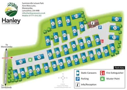
A compact Morecambe static-caravan park map with diagonal layout, reception parking and a bold symbol key.
 Explore the map ↗
United Kingdom
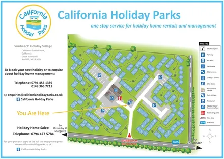
Numbered chalet blocks, communal lawns and shared parking on a branded Sunbeach Holiday Village map.
 Explore the map ↗
United Kingdom
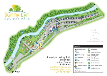
A river-led site plan with colour-coded pitches, central facilities and local walking directions.
 Explore the map ↗
United Kingdom
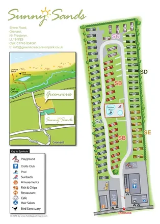
Colour-coded caravan park plan with an entrance leisure hub and a coastal location inset.
 Explore the map ↗
United Kingdom
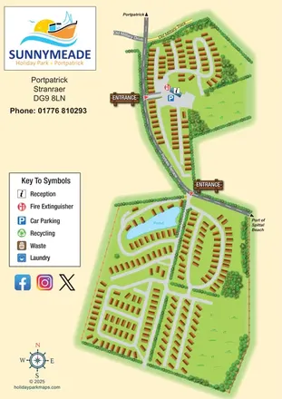
Illustrated Sunnymeade map with two entrances, pond-side accommodation and a nautical information column.
 Explore the map ↗
United Kingdom
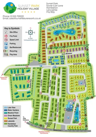
Colour-coded Sunset Park map with seven neighbourhoods, fishing waters and two named entrances.
 Explore the map ↗
United Kingdom
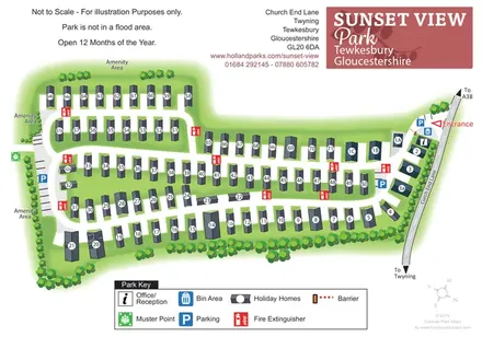
Numbered holiday homes, connected road loops and tree-lined amenity margins at Sunset View Park, Gloucestershire.
 Explore the map ↗
United Kingdom
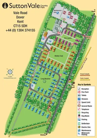
A tree-lined Kent holiday park map with colour-grouped accommodation, named areas and distinct public and private footpaths.
 Explore the map ↗
United Kingdom
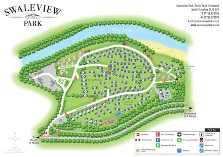
A numbered riverside holiday-home park plan with named neighbourhoods, wooded boundaries and a clear arrival route.
 Explore the map ↗
United Kingdom
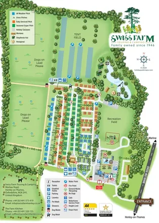
Portrait park map with colour-coded touring pitches, lakeside glamping and clearly grouped visitor facilities.
 Explore the map ↗
United Kingdom
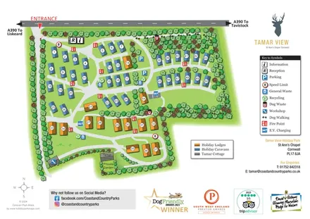
Tree-framed caravan and lodge park map with numbered accommodation, EV charging and a pawprint dog walking route.
 Explore the map ↗
United Kingdom
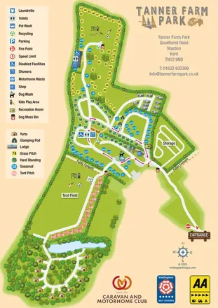
Colour-coded pitches, central facilities and woodland yurts on Tanner Farm Park's illustrated visitor map.
 Explore the map ↗
United Kingdom
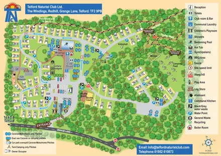
Woodland club map with colour-coded caravan pitches, camping, sports courts and named walking routes.
 Explore the map ↗
United Kingdom
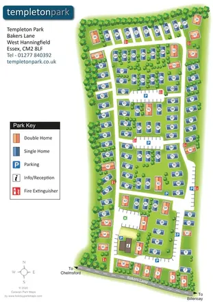
Templeton Park estate plan with colour-coded single and double homes, parking courts and a tree-lined boundary.
 Explore the map ↗
United Kingdom
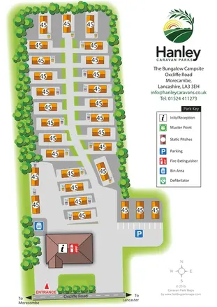
Tree-lined static-caravan park plan with a central access spine, entrance reception and Hanley branding.
 Explore the map ↗
United Kingdom
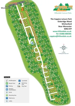
A diagonal woodland park plan with orange holiday homes, white access roads and integrated Hillandale branding.
 Explore the map ↗
United Kingdom
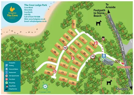
A coastal lodge park plan with numbered roofs, wooded margins and pink-dashed walking routes.
 Explore the map ↗
United Kingdom
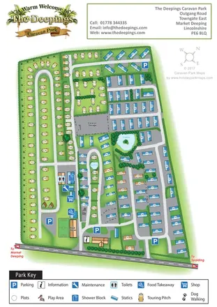
A mixed touring and static caravan park map with two ponds, a western dog-walking route and clearly grouped visitor facilities.
 Explore the map ↗
United Kingdom
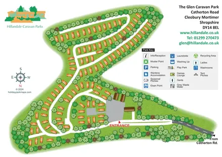
Tree-lined holiday-home rows and curving roads at The Glen Caravan Park, Shropshire.
 Explore the map ↗
United Kingdom
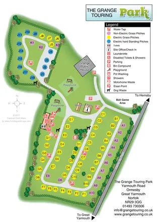
Colour-coded touring pitches, two playgrounds and a central facilities hub at The Grange Touring Park, Norfolk.
 Explore the map ↗
United Kingdom
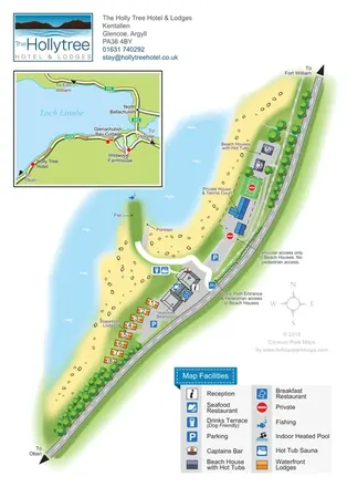
Lochside hotel and lodge map with colour-coded accommodation, separate access routes and a regional road inset.
 Explore the map ↗
United Kingdom
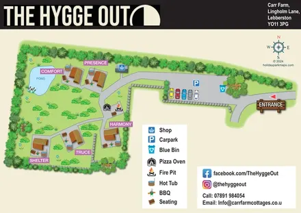
Five named glamping pods, private hot tubs and a shared fire-pit terrace in a landscaped countryside map.
 Explore the map ↗
United Kingdom
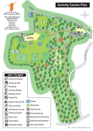
Illustrated Scout activity-centre plan with numbered camping areas, woodland routes and a comprehensive facility key.
LET’S MAP YOUR PARK
For a map quotation, find your park and draw a rough boundary around it. The area you select helps us work out the design time and price.
Draw your park for a quote ↗Or talk to our map designers
01751 473136