
 Explore the map ↗
United Kingdom
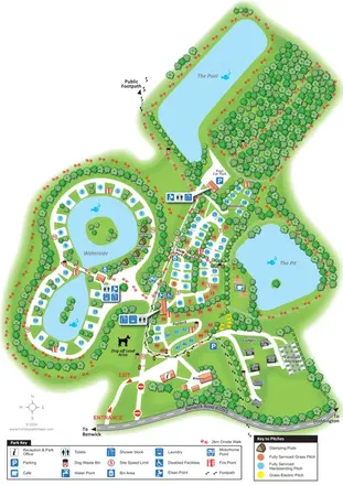
Fields End Water
Lake-led park plan with colour-coded touring pitches, named pods and lodges, and a paw-print walking route.
THE HOLIDAY PARK MAP COLLECTION
Browse 24 map examples, from Fields End Water to Glanllyn Caravan Park.
← Explore the whole collectionCombine a country, landscape, facilities and accommodation type to find relevant examples.
Showing 169–192 of 577 · Select a map to read its story
Explore the map ↗United Kingdom
Lake-led park plan with colour-coded touring pitches, named pods and lodges, and a paw-print walking route.
 Explore the map ↗
United Kingdom
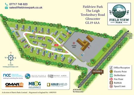
Fieldview Park: numbered residential homes, individual drives and a gated loop-road layout beside the A38.
 Explore the map ↗
United Kingdom
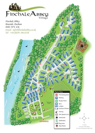
Finchale Abbey park map with numbered lodges, touring areas, River Wear frontage and village allotments.
 Explore the map ↗
United Kingdom
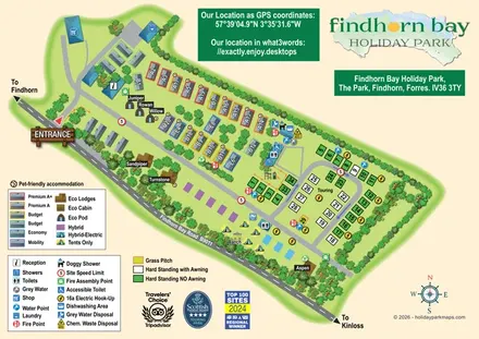
Illustrated mixed-accommodation park plan with colour-coded caravans, named eco units and a touring loop.
 Explore the map ↗
United Kingdom
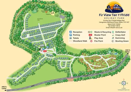
A wooded Mid Wales caravan park plan with numbered units, branching roads and a recreational field.
 Explore the map ↗
United Kingdom
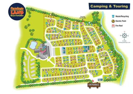
Colour-coded camping and touring plan with lettered pitches, numbered groups and illustrated landscape boundaries.
 Explore the map ↗
United Kingdom
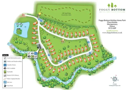
Numbered holiday homes, a riverside border setting and a dedicated dog exercise field at Foggy Bottom.
 Explore the map ↗
United Kingdom
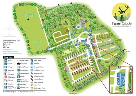
A woodland holiday-park map with colour-coded accommodation, camping fields and an enlarged facilities inset.
 Explore the map ↗
United Kingdom
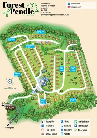
Tree-framed holiday-home plan with eight named neighbourhoods, cyan wayfinding panels and an illustrated Pasture Lane entrance.
 Explore the map ↗
United Kingdom
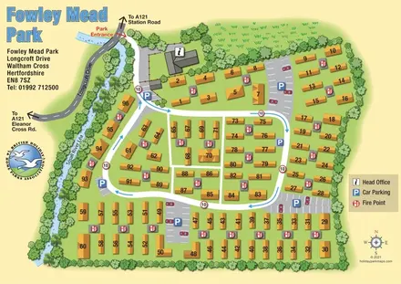
Numbered residential park homes, shared parking and a blue-arrow circulation loop beside the Small River Lea.
 Explore the map ↗
United States
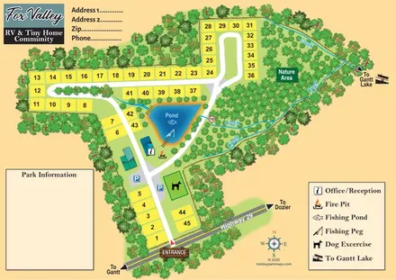
Numbered community plots, a fishing pond and creek-lined nature area at Fox Valley, Alabama.
 Explore the map ↗
Australia
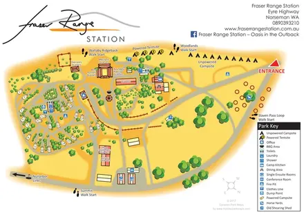
Warm-toned station campsite map with numbered caravan pitches, named quarters, horse yards and four walking starts.
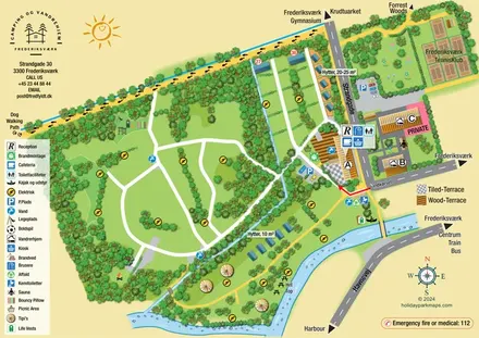 Explore the map ↗
Denmark
Illustrated canal-side campsite and hostel map with cabins, tipis, walking routes and town connections.
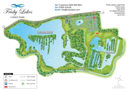 Explore the map ↗
United Kingdom
Landscape-led lodge park map with a fishery, swimming lake, nature reserve and colour-coded footpaths.
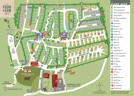 Explore the map ↗
United Kingdom
Colour-coded Fron Farm park plan combining named pitch lanes, holiday-home areas, farm attractions and detailed arrival and service wayfinding.
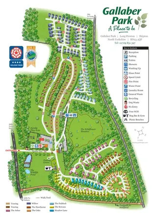 Explore the map ↗
United Kingdom
Colour-coded Gallaber Park map with touring areas, a wildflower meadow, woodland walks and visitor facilities.
 Explore the map ↗
United Kingdom
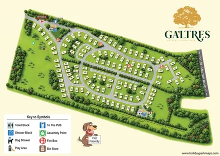
Numbered lodges, curving roads and woodland planting on a branded Galtres park map.
 Explore the map ↗
United Kingdom
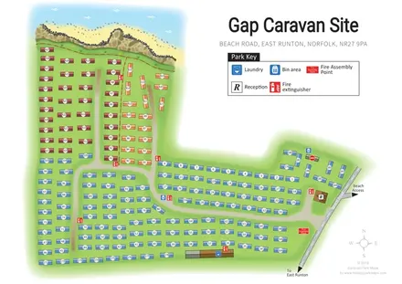
Colour-coded caravan rows, clear visitor facilities and an illustrated cliff-top setting at Gap Caravan Site, East Runton.
 Explore the map ↗
United Kingdom
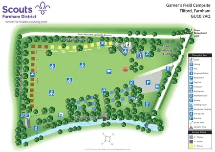
Scout campsite map with colour-coded camping sectors, outdoor activities and River Wey landmarks.
 Explore the map ↗
United Kingdom
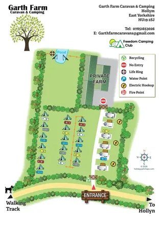
Illustrated farm campsite map with tent camping, electric touring bays, a pond and clearly marked private farm access.
 Explore the map ↗
United Kingdom
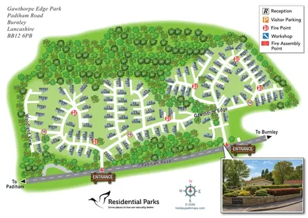
Numbered residential park map with woodland planting, two entrances and a photographic arrival inset.
 Explore the map ↗
United Kingdom
Illustrated farm campsite map with touring pitches, pods, camping fields and a riverside dog-walk route.
 Explore the map ↗
United Kingdom
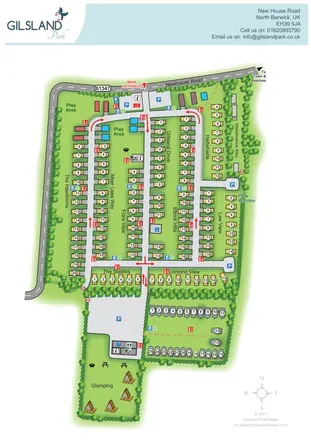
Branded North Berwick park map with named caravan rows, traffic arrows and a separate glamping garden.
 Explore the map ↗
United Kingdom
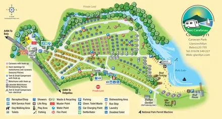
Colour-coded touring and camping map beside Afon Llafar and Bala Lake, with bilingual Glanllyn branding.
LET’S MAP YOUR PARK
For a map quotation, find your park and draw a rough boundary around it. The area you select helps us work out the design time and price.
Draw your park for a quote ↗Or talk to our map designers
01751 473136