
 Explore the map ↗
United Kingdom
Sandy Beach Estates
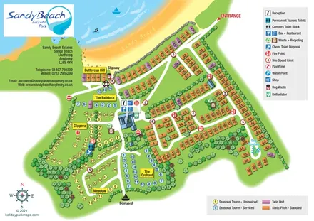
Coastal park map with colour-coded static and seasonal touring areas, beach access and boating landmarks.
THE HOLIDAY PARK MAP COLLECTION
Browse 24 map examples, from Sandy Beach Estates to Smithy Park.
← Explore the whole collectionCombine a country, landscape, facilities and accommodation type to find relevant examples.
Showing 409–432 of 545 · Select a map to read its story
Explore the map ↗United Kingdom
Coastal park map with colour-coded static and seasonal touring areas, beach access and boating landmarks.
 Explore the map ↗
United Kingdom
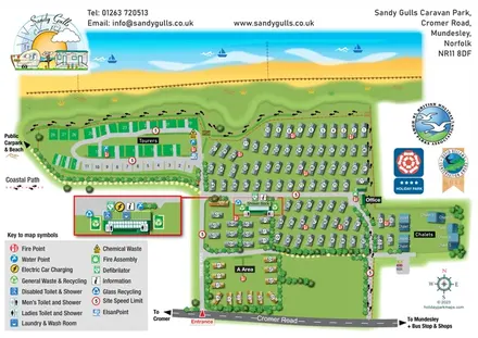
Illustrated coastal park plan with a companion Mundesley visitor map and regional arrival inset.
 Explore the map ↗
United Kingdom
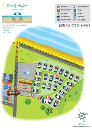
A compact Sea Palling caravan-park map with numbered statics, beach access and nearby amenities.
 Explore the map ↗
United Kingdom
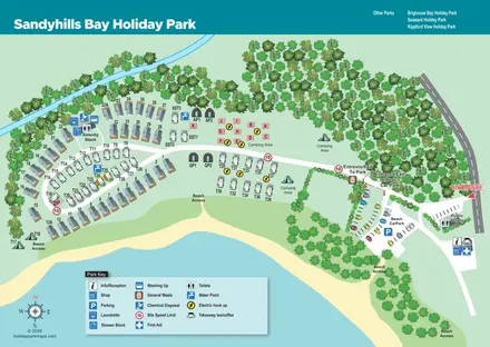
Coastal park map with mixed accommodation, separate arrival routes and clearly marked beach access.
 Explore the map ↗
United Kingdom
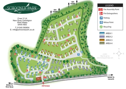
Four colour-coded residential areas, tree-lined roads and sea-view markers at Schooner Park, New Quay.
 Explore the map ↗
United Kingdom
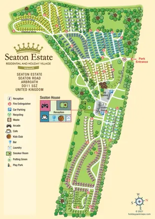
A colour-coded estate plan with named roads, tree-lined neighbourhoods and a linked Seaton House facilities inset.
 Explore the map ↗
United Kingdom
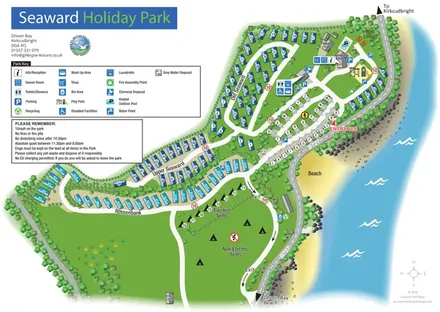
Coastal park map with named caravan sections, touring pitches, camping areas and a clearly illustrated facilities hub.
 Explore the map ↗
United Kingdom
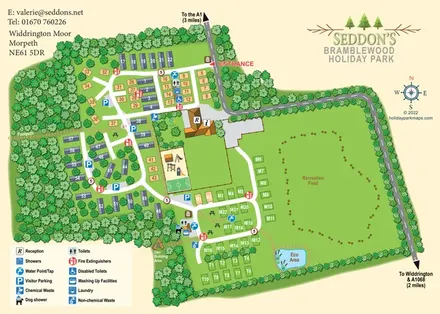
Woodland holiday-park map with numbered accommodation, a recreation field, play facilities and an Eco Area.
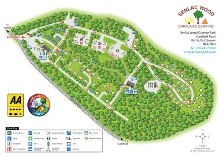 Explore the map ↗
United Kingdom
Woodland park map with lettered pitch clearings, a Paddock loop and distributed facility symbols.
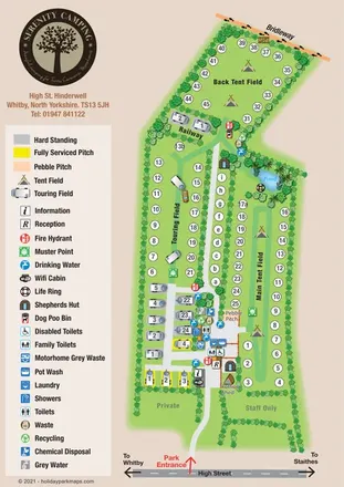 Explore the map ↗
United Kingdom
Portrait campsite map with touring and tent fields, shepherds’ huts, a pond and a boundary bridleway.
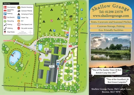 Explore the map ↗
United Kingdom
Illustrated farm campsite plan with fishing pond, public footpaths and a photographic promotional panel.
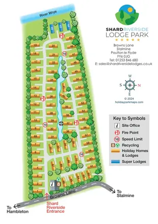 Explore the map ↗
United Kingdom
Tree-lined riverside lodge park plan with numbered accommodation, a central water feature and a separate branding and legend column.
 Explore the map ↗
United Kingdom
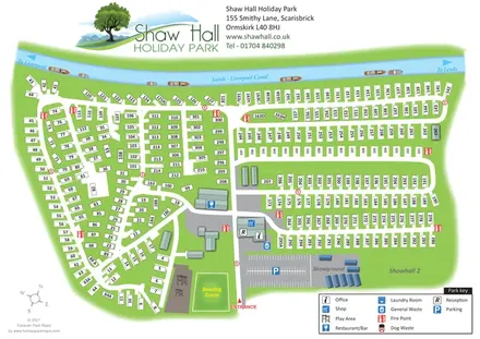
Canal-side holiday-park map with numbered static homes, a central facility hub and a showground.
 Explore the map ↗
United Kingdom
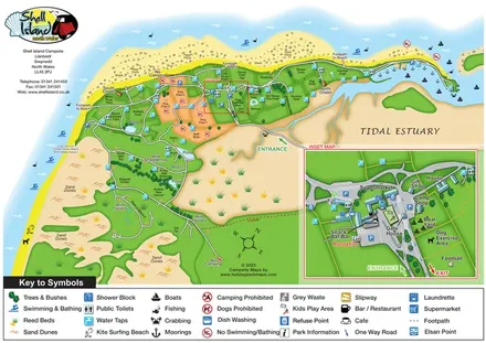
Coastal campsite map with named camping fields, harbour facilities and an enlarged arrival-hub inset.
 Explore the map ↗
United Kingdom
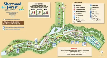
A colour-coded touring and camping map with wooded pitch areas, the River Maun, lakes and a pitching guide.
 Explore the map ↗
United Kingdom
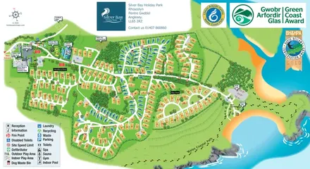
Illustrated Anglesey holiday-park map with numbered homes, family facilities and a footprint-marked coastal path.
 Explore the map ↗
United Kingdom
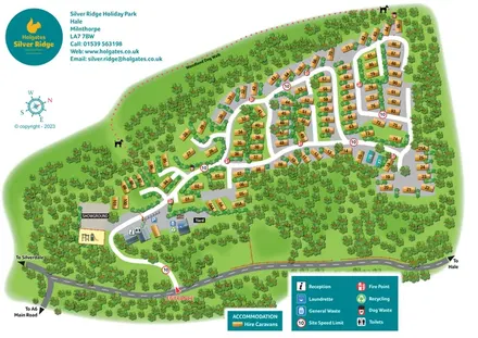
A woodland holiday-park plan with numbered caravans, a pink dotted dog walk and teal Holgates branding.
 Explore the map ↗
United Kingdom
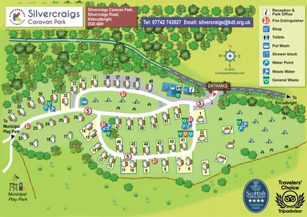
Illustrated touring and camping map with numbered pitches, shared facilities and a neighbouring municipal play park.
 Explore the map ↗
United Kingdom
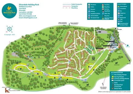
Colour-coded accommodation, woodland walks and an entrance-side leisure hub at Silverdale Holiday Park.
 Explore the map ↗
United Kingdom
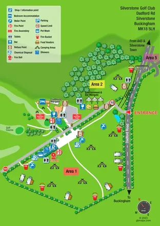
A bright, symbol-led event campsite map with open camping zones, golf-course scenery and a roadside bridge.
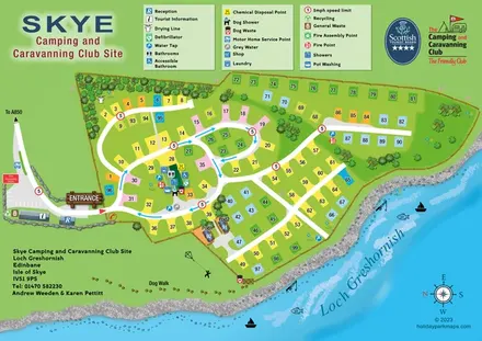 Explore the map ↗
United Kingdom
Lochside campsite map with numbered pitches, two pods and a paw-print dog walk.
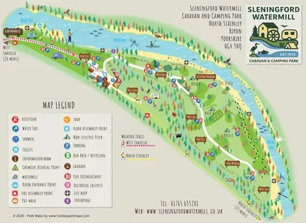 Explore the map ↗
United Kingdom
Illustrated riverside campsite map with named meadows, walking trails and a watermill service hub.
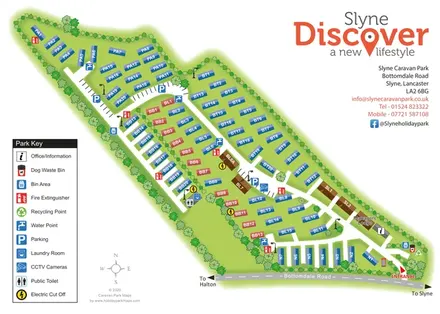 Explore the map ↗
United Kingdom
A tree-lined holiday-home park plan with coded plots, service icons and bold Slyne branding.
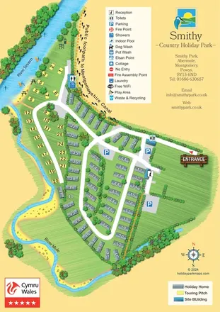 Explore the map ↗
United Kingdom
Illustrated Smithy Park map with riverside touring pitches, holiday-home rows and a footprint-marked canal footpath.
LET’S MAP YOUR PARK
For a map quotation, find your park and draw a rough boundary around it. The area you select helps us work out the design time and price.
Draw your park for a quote ↗Or talk to our map designers
01751 473136