
 Explore the map ↗
United Kingdom
Lytham Edge Lodge Park
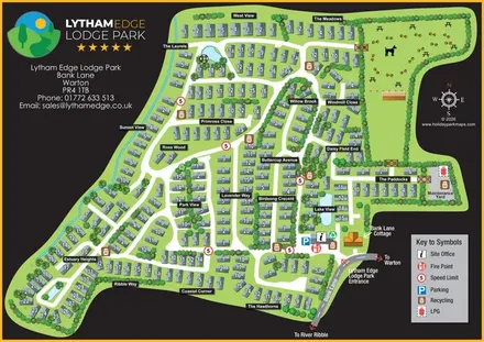
A branded, numbered site plan with landscaped neighbourhoods, ponds and a dog-themed recreation area.
THE HOLIDAY PARK MAP COLLECTION
Browse 24 map examples, from Lytham Edge Lodge Park to Mill Farm Leisure.
← Explore the whole collectionCombine a country, landscape, facilities and accommodation type to find relevant examples.
Showing 289–312 of 545 · Select a map to read its story
Explore the map ↗United Kingdom
A branded, numbered site plan with landscaped neighbourhoods, ponds and a dog-themed recreation area.
 Explore the map ↗
United Kingdom
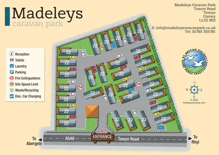
Compact static caravan park map with illustrated decks, cars and a prominent Towyn Road entrance.
 Explore the map ↗
United Kingdom
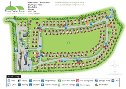
Tree-framed caravan-park plan with numbered plots, a central green and a detailed facility key.
 Explore the map ↗
United Kingdom
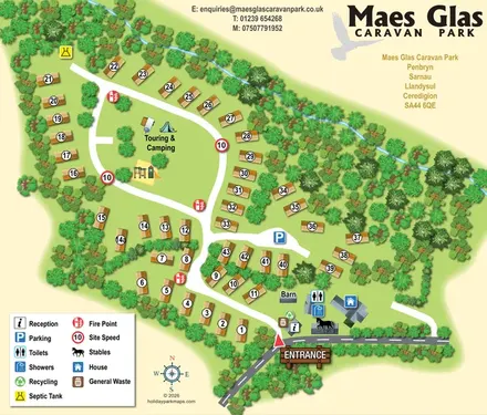
Tree-framed caravan park map with a central touring lawn, playground and clearly marked entrance facilities.
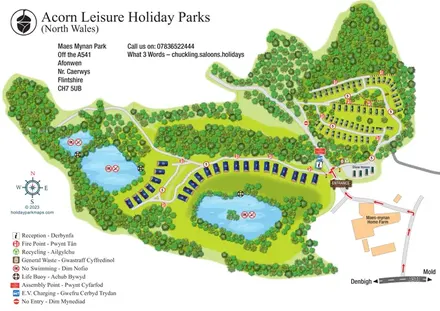 Explore the map ↗
United Kingdom
Woodland and lakeside holiday-park map with bilingual wayfinding and an integrated A541 approach.
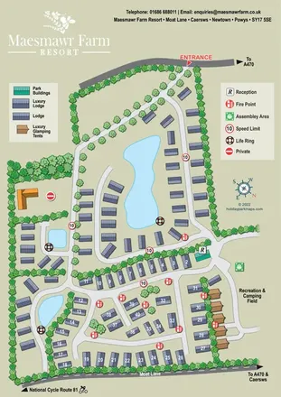 Explore the map ↗
United Kingdom
Pond-centred lodge resort map with glamping tents, landscaped roads and a recreation and camping field.
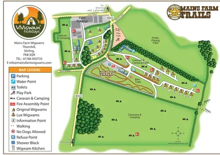 Explore the map ↗
United Kingdom
Illustrated farm glamping map with two wigwam styles, camping fields and a branded bike-trail area.
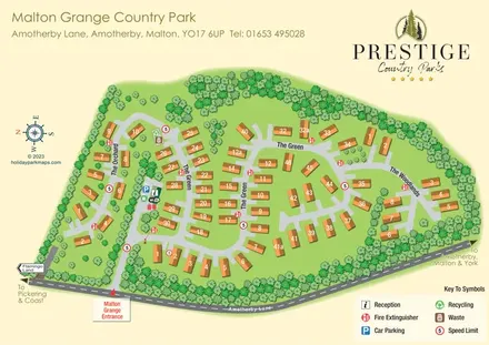 Explore the map ↗
United Kingdom
Numbered lodges, three named areas and tree-lined roads at Malton Grange Country Park.
 Explore the map ↗
United Kingdom
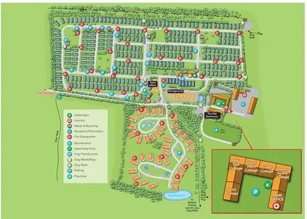
Tree-lined accommodation blocks, lodge loops and a detailed cottage courtyard inset at Malvern View.
 Explore the map ↗
United Kingdom
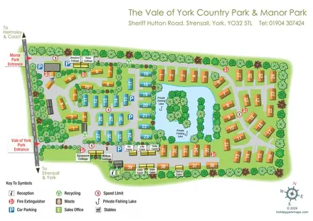
Combined Manor Park and Vale of York plan with lakeside accommodation, named cottages and cabins, and separate entrance markers.
 Explore the map ↗
United Kingdom
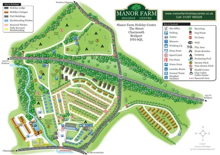
Colour-coded pitches, riverside camping and separate accommodation areas at Manor Farm Holiday Centre, Dorset.
 Explore the map ↗
United Kingdom
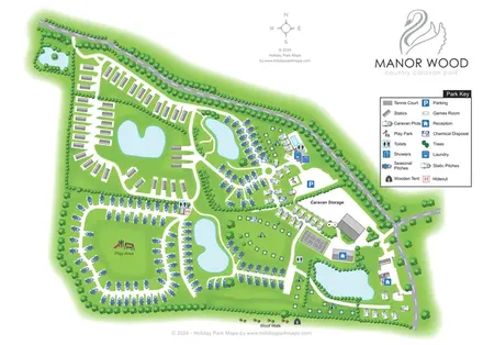
Pond-rich Manor Wood park map with seasonal pitches, statics, camping areas and a paw-print Woof Walk.
 Explore the map ↗
United Kingdom
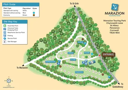
Tree-bordered touring park map with six named pitch areas, colour-coded grass pitches and clear service-point symbols.
 Explore the map ↗
United Kingdom
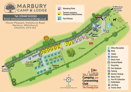
Colour-coded camping, touring and glamping map with an orchard, pond and dog-walking field.
 Explore the map ↗
United Kingdom
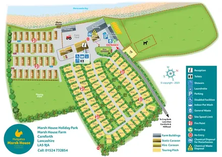
Coastal park map with static caravan rows, hedge-lined touring loops and a central farm complex.
 Explore the map ↗
United Kingdom
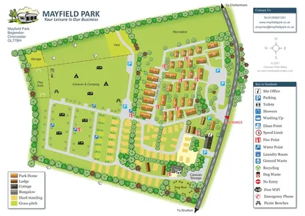
Mayfield Park map with park homes, touring pitches, open camping and tree-lined recreation areas.
 Explore the map ↗
United Kingdom
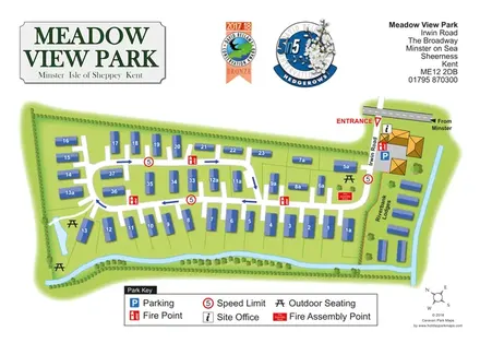
Meadow View Park map with numbered homes, Riverbank Lodges, directional roads and planted waterside boundaries.
 Explore the map ↗
United Kingdom
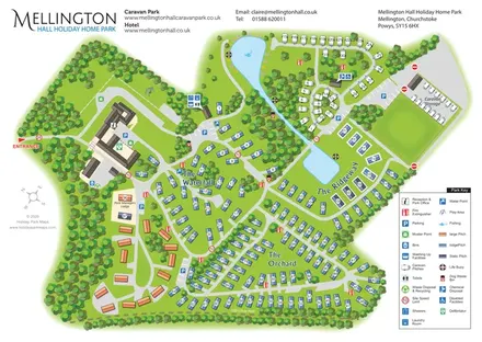
Wooded estate map with named lodge areas, lakeside touring, a hall-side arrival hub and Offa's Dyke Path.
 Explore the map ↗
United Kingdom
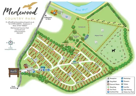
Numbered holiday homes, tree-named roads and alpaca fields beside the River Wyre.
 Explore the map ↗
United Kingdom
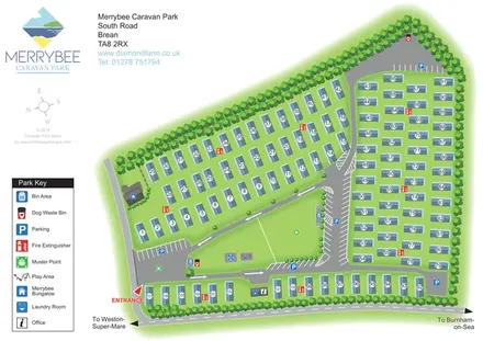
Numbered caravan park plan with a central play lawn, tree-lined boundaries and a prominent entrance in Brean, Somerset.
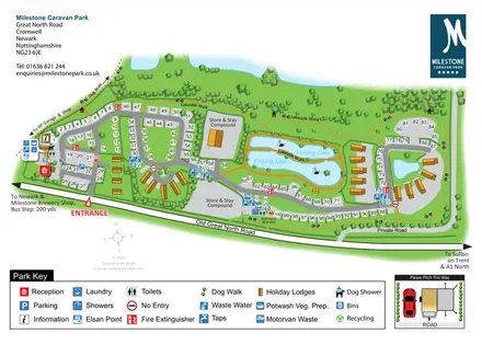 Explore the map ↗
United Kingdom
Overhead touring-park map with fishing lakes, holiday lodges, service icons and a pitching inset.
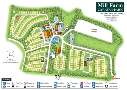 Explore the map ↗
United Kingdom
Tree-divided pitch loops, central leisure facilities and caravan storage at Mill Farm, Somerset.
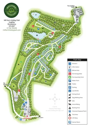 Explore the map ↗
United Kingdom
A wooded Shropshire park mapped with curved caravan rows, tent areas, ponds and a winding watercourse.
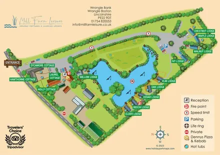 Explore the map ↗
United Kingdom
Lake-centred cottage and lodge map with named properties, hot tubs and illustrated waterside terraces.
LET’S MAP YOUR PARK
For a map quotation, find your park and draw a rough boundary around it. The area you select helps us work out the design time and price.
Draw your park for a quote ↗Or talk to our map designers
01751 473136