
 Explore the map ↗
United Kingdom
Craigtoun Meadows Holiday Park
Woodland holiday-park map with named accommodation areas, touring loops and illustrated recreation facilities.
THE HOLIDAY PARK MAP COLLECTION
Browse 24 map examples, from Craigtoun Meadows Holiday Park to Epworth Fields.
← Explore the whole collectionCombine a country, landscape, facilities and accommodation type to find relevant examples.
Showing 121–144 of 545 · Select a map to read its story
Explore the map ↗United Kingdom
Woodland holiday-park map with named accommodation areas, touring loops and illustrated recreation facilities.
 Explore the map ↗
United Kingdom
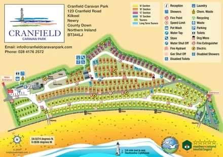
Colour-coded caravan sections, touring pitches and beach access on a coastal park map in County Down.
 Explore the map ↗
United Kingdom
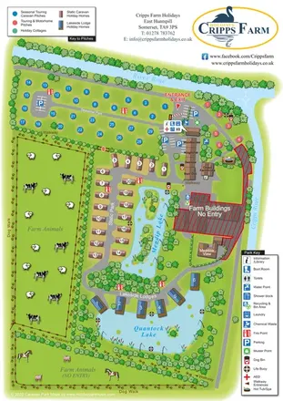
Illustrated farm holiday park plan combining riverside pitches, lakeside accommodation, animal fields and paw-print walking routes, with separate accommodation and facilities keys.
 Explore the map ↗
United Kingdom
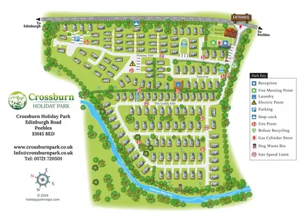
Numbered holiday homes, three named areas and a riverside dog walk at Crossburn Holiday Park, Peebles.
 Explore the map ↗
United Kingdom
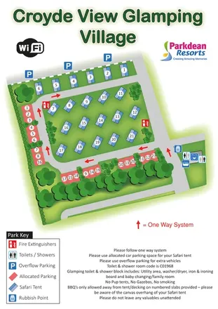
Safari-tent glamping map with numbered parking, one-way roads and shared facilities.
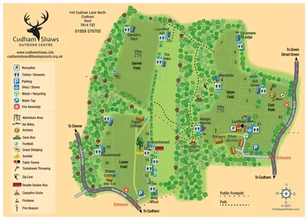 Explore the map ↗
United Kingdom
Woodland outdoor-centre map with group camping fields, separate entrances and bespoke activity symbols.
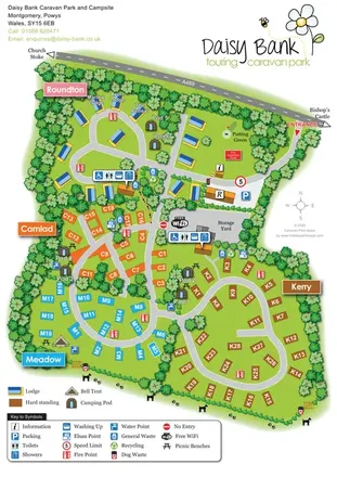 Explore the map ↗
United Kingdom
Colour-coded touring areas, illustrated lodges and glamping units within Daisy Bank’s tree-lined park plan.
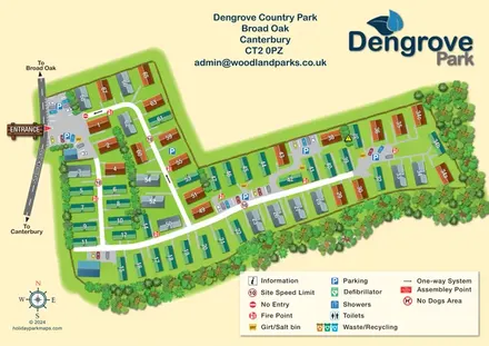 Explore the map ↗
United Kingdom
Numbered park homes, distributed parking and a tree-lined boundary at Dengrove Country Park, Canterbury.
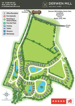 Explore the map ↗
United Kingdom
Landscape-led holiday park map with winding lanes, lakes, planted islands and grey-roofed holiday homes.
 Explore the map ↗
United Kingdom
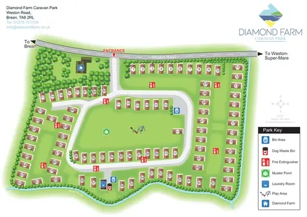
Numbered accommodation, a central green and tree-lined rhyne on the Diamond Farm park map.
 Explore the map ↗
United Kingdom
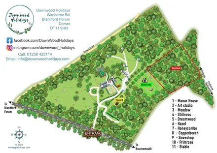
A wooded Dorset estate map with named properties, a manor house, vineyard and colour-coded recreation areas.
 Explore the map ↗
United Kingdom
Illustrated caravan park plan with woodland and riverside walks, fishing pools and wildlife panels.
 Explore the map ↗
United Kingdom
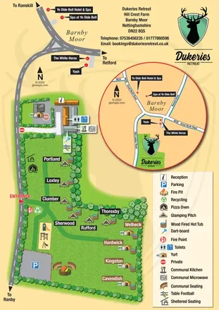
Illustrated glamping plan with named pitches, yurts, hot tubs and a circular Barnby Moor locator.
 Explore the map ↗
United Kingdom
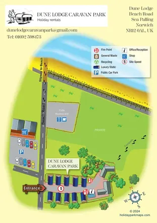
A compact static-caravan park map showing Beach Road, nearby amenities and the beach approach at Sea Palling.
 Explore the map ↗
United Kingdom
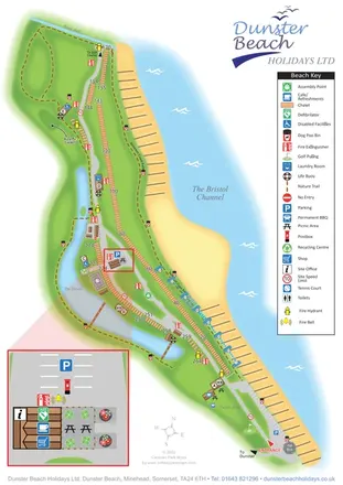
Coastal chalet map with waterside trails, a vertical key and an enlarged visitor-services inset.
 Explore the map ↗
United Kingdom
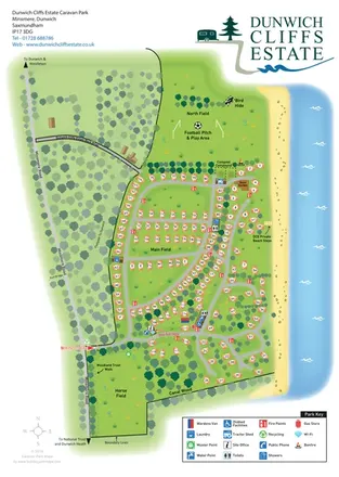
Coastal caravan estate map with woodland walks, open fields and clearly marked beach steps.
 Explore the map ↗
United Kingdom
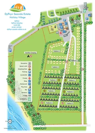
Portrait seaside park map with nine paddocks, an amenities hub and illustrated Benar Beach.
 Explore the map ↗
United Kingdom
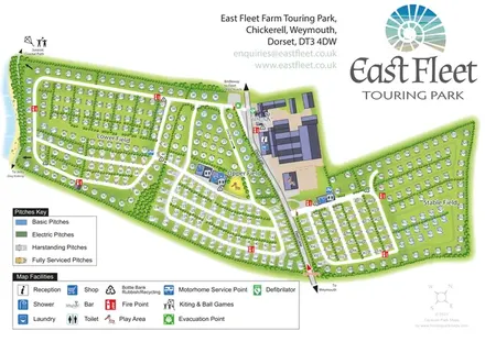
Coastal touring-park plan with three named fields, four pitch categories and lagoon-side walking connections.
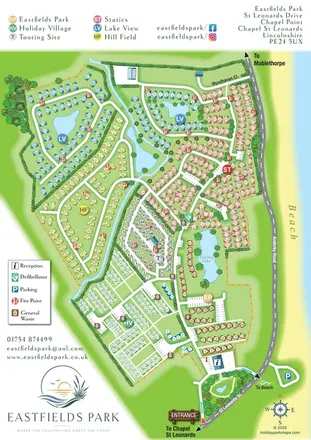 Explore the map ↗
United Kingdom
Six colour-coded neighbourhoods, lakeside layouts and coastal access on the Eastfields Park map.
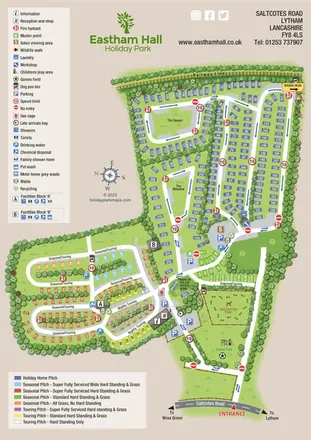 Explore the map ↗
United Kingdom
Colour-coded whole-park and holiday-home-section maps for Eastham Hall, Lytham.
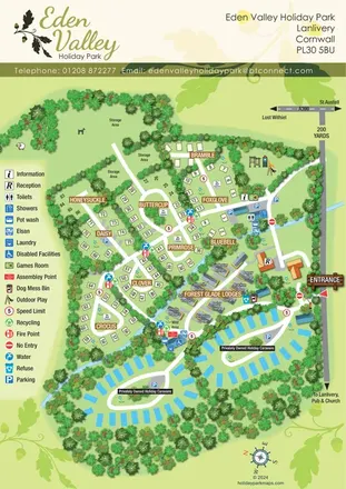 Explore the map ↗
United Kingdom
A tree-lined Cornwall park map with flower-named pitches, Forest Glade Lodges and two private-caravan loops.
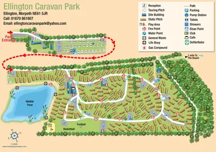 Explore the map ↗
United Kingdom
Illustrated caravan-park plan with a wildlife pond, separate touring area and beach-bound footpath.
 Explore the map ↗
United Kingdom
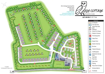
Tree-lined touring park plan with colour-coded pitches, a pawprint dog walk and distinctive owl branding.
 Explore the map ↗
United Kingdom
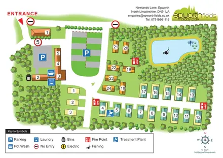
Tree-lined Epworth Fields map with numbered accommodation, clear access roads and a fishing pond.
LET’S MAP YOUR PARK
For a map quotation, find your park and draw a rough boundary around it. The area you select helps us work out the design time and price.
Draw your park for a quote ↗Or talk to our map designers
01751 473136